Earthquake MORO GULF, MINDANAO, PHILIPPINES
Sun, 01 Feb 2026 02:58:00 GMT
Time3 weeks ago
Location
6.2841, 123.7506
Depth
10.0 KM
Event Summary
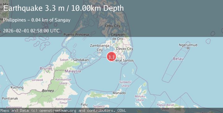
A 3.3 magnitude earthquake struck on MORO GULF, MINDANAO, PHILIPPINES, at Sun, 01 Feb 2026 02:58:00 GMT. Depth: 10km. Reviewed by NEIC seismologists, this minor quake occurred at a magnitude type of m.
Magnitude
3.3
m
Source
NEIC
Intensity
-
Agency Reports
1 Sources| Source | Magnitude | Depth | Time |
|---|---|---|---|
| NEICPrimary | 3.3 | 10 km | 3 weeks ago |
Earthquake Details
AutomaticEvent IDemsc_NEIC_20260201_0000044
Tsunami PotentialNo
Magnitude Typem
Nearest Places
- 35.3 km
- 35.4 km
- 35.5 km
- 35.5 km
- 35.7 km
Comments
Join the discussion about this event.
Latest Earthquakes
2.4Mag
Queensland, Australia
Time9 minutes ago
Depth740.23 km
SourceVYT (Automatic)
2.5Mag
Antofagasta, Chile
Time17 minutes ago
Depth13.06 km
SourceVYT (Automatic)
1.4Mag
Southeastern Alaska
Time17 minutes ago
Depth0.00 km
SourceVYT (Automatic)
3.1Mag
Savu Sea
Time29 minutes ago
Depth80.32 km
SourceVYT (Automatic)
2.1Mag
PORTUGAL
Time31 minutes ago
Depth0.70 km
SourceIPMA (Automatic)
Nearby Earthquakes
4.4Mag
MORO GULF, MINDANAO, PHILIPPINES
Time3 weeks ago
Depth10.00 km
SourceNEIC (Automatic)
4.3Mag
Mindanao, Philippines
Time3 weeks ago
Depth116.84 km
SourceBMKG (Automatic)
2.2Mag
Mindanao, Philippines
Time2 weeks ago
Depth36.00 km
SourceMAN (Automatic)
3.5Mag
MORO GULF, MINDANAO, PHILIPPINES
Time3 weeks ago
Depth10.00 km
SourceNEIC (Automatic)
3.9Mag
MORO GULF, MINDANAO, PHILIPPINES
Time1 month ago
Depth9.70 km
SourceNEIC (Automatic)