Earthquake ALASKA PENINSULA
Thu, 16 Jan 2014 12:55:15 GMT
Time12 years ago
Location
57.6700, -156.5700
Depth
34.0 KM
Event Summary
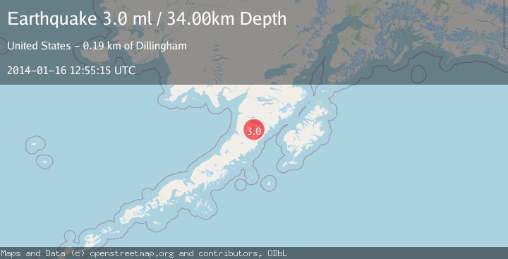
A 3.0 magnitude earthquake struck on ALASKA PENINSULA, at Thu, 16 Jan 2014 12:55:15 GMT. Depth: 34km. Reviewed by NEIR seismologists, this minor quake occurred at a magnitude type of ml.
Magnitude
3.0
ml
Source
NEIR
Intensity
-
Agency Reports
1 Sources| Source | Magnitude | Depth | Time |
|---|---|---|---|
| NEIRPrimary | 3.0 | 34 km | 12 years ago |
Earthquake Details
AutomaticEvent IDemsc_NEIR_20140116_0000059
Tsunami PotentialNo
Magnitude Typeml
Nearest Places
- Ugashik Creek4.6 km
- Crooked Creek4.9 km
- Deer Creek6.0 km
- Upper Ugashik Lake7.1 km
- Moore Creek7.2 km
Comments
Join the discussion about this event.
Latest Earthquakes
2.7Mag
Minahassa Peninsula, Sulawesi
Time19 minutes ago
Depth10.57 km
SourceBMKG
0.6Mag
Southern Alaska
Time20 minutes ago
Depth7.20 km
SourceVYT (Automatic)
3.0Mag
Tarapaca, Chile
Time23 minutes ago
Depth140.38 km
SourceVYT (Automatic)
1.4Mag
Kenai Peninsula, Alaska
Time27 minutes ago
Depth0.00 km
SourceVYT (Automatic)
2.8Mag
Northern Molucca Sea
Time33 minutes ago
Depth17.04 km
SourceBMKG
Nearby Earthquakes
3.0Mag
ALASKA PENINSULA
Time5 years ago
Depth145.00 km
SourceNEIC (Automatic)
3.0Mag
ALASKA PENINSULA
Time7 years ago
Depth12.00 km
SourceNEIR (Automatic)
2.6Mag
ALASKA PENINSULA
Time1 month ago
Depth119.50 km
SourceNEIC (Automatic)
3.0Mag
ALASKA PENINSULA
Time7 years ago
Depth112.00 km
SourceNEIR (Automatic)
3.0Mag
ALASKA PENINSULA
Time6 years ago
Depth124.00 km
SourceNEIC (Automatic)