Earthquake SOUTHERN CALIFORNIA
Wed, 04 Jan 2017 06:48:42 GMT
Time9 years ago
Location
33.0700, -116.0600
Depth
14.0 KM
Event Summary
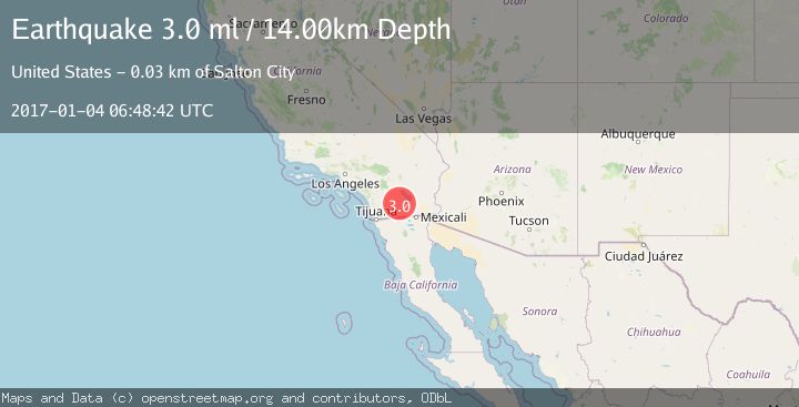
A 3.0 magnitude earthquake struck on SOUTHERN CALIFORNIA, at Wed, 04 Jan 2017 06:48:42 GMT. Depth: 14km. Reviewed by NEIR seismologists, this minor quake occurred at a magnitude type of ml.
Magnitude
3.0
ml
Source
NEIR
Intensity
-
Agency Reports
1 Sources| Source | Magnitude | Depth | Time |
|---|---|---|---|
| NEIRPrimary | 3.0 | 14 km | 9 years ago |
Earthquake Details
AutomaticEvent IDemsc_NEIR_20170104_0000028
Tsunami PotentialNo
Magnitude Typeml
Nearest Places
- Lower Borrego Valley1.7 km
- Alma Wash3.2 km
- Baileys Well3.7 km
- County Well4.0 km
- Halfhill Lake4.9 km
Comments
Join the discussion about this event.
Latest Earthquakes
1.8Mag
16 km ENE of Falls City, Texas
Time22 hours ago
Depth6.87 km
SourceUSGS (Automatic)
1.7Mag
Southern Alaska
Time22 hours ago
Depth2.44 km
SourceVYT (Automatic)
2.2Mag
Kodiak Island region, Alaska
Time22 hours ago
Depth30.52 km
SourceVYT (Automatic)
1.7Mag
9 km SE of Pearsall, Texas
Time22 hours ago
Depth7.54 km
SourceUSGS (Automatic)
3.9Mag
Flores region, Indonesia
Time22 hours ago
Depth176.39 km
SourceVYT (Automatic)
Nearby Earthquakes
1.2Mag
9 km ESE of Ocotillo Wells, CA
Time1 week ago
Depth8.78 km
SourceUSGS (Automatic)
3.0Mag
SOUTHERN CALIFORNIA
Time7 years ago
Depth4.00 km
SourceNEIR (Automatic)
3.0Mag
SOUTHERN CALIFORNIA
Time2 years ago
Depth7.00 km
SourceNEIC (Automatic)
1.0Mag
4 km E of Ocotillo Wells, CA
Time5 days ago
Depth2.91 km
SourceUSGS (Automatic)
3.0Mag
SOUTHERN CALIFORNIA
Time6 years ago
Depth11.00 km
SourceNEIR (Automatic)