Earthquake SOUTHERN ALASKA
Thu, 26 Jan 2017 22:32:03 GMT
Time9 years ago
Location
59.5000, -152.8900
Depth
108.0 KM
Event Summary
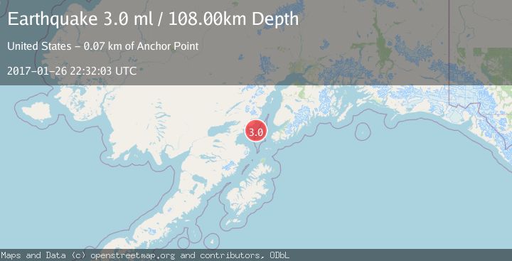
A 3.0 magnitude earthquake struck on SOUTHERN ALASKA, at Thu, 26 Jan 2017 22:32:03 GMT. Depth: 108km. Reviewed by NEIR seismologists, this minor quake occurred at a magnitude type of ml.
Magnitude
3.0
ml
Source
NEIR
Intensity
-
Agency Reports
1 Sources| Source | Magnitude | Depth | Time |
|---|---|---|---|
| NEIRPrimary | 3.0 | 108 km | 9 years ago |
Earthquake Details
AutomaticEvent IDemsc_NEIR_20170126_0000113
Tsunami PotentialNo
Magnitude Typeml
Nearest Places
- Jakolof Bay20.5 km
- Chinitna Point23.3 km
- Dry Bay23.9 km
- Brown Creek24.4 km
- Bow Creek24.5 km
Comments
Join the discussion about this event.
Latest Earthquakes
1.7Mag
western Texas
Time5 minutes ago
Depth3.42 km
SourceVYT (Automatic)
3.8Mag
Seram, Indonesia
Time7 minutes ago
Depth0.00 km
SourceVYT (Automatic)
1.6Mag
54 km WNW of Toyah, Texas
Time13 minutes ago
Depth0.00 km
SourceUSGS (Automatic)
2.2Mag
West Papua Region, Indonesia
Time15 minutes ago
Depth26.69 km
SourceBMKG
1.2Mag
WESTERN TURKEY
Time15 minutes ago
Depth7.00 km
SourceAFAD (Automatic)
Nearby Earthquakes
4.0Mag
SOUTHERN ALASKA
Time4 months ago
Depth99.00 km
SourceNEIC (Automatic)
3.0Mag
SOUTHERN ALASKA
Time4 years ago
Depth98.00 km
SourceNEIC (Automatic)
2.7Mag
SOUTHERN ALASKA
Time1 week ago
Depth84.20 km
SourceNEIC (Automatic)
1.7Mag
Southern Alaska
Time3 days ago
Depth99.00 km
SourceVYT (Automatic)
3.0Mag
SOUTHERN ALASKA
Time7 years ago
Depth89.00 km
SourceNEIR (Automatic)