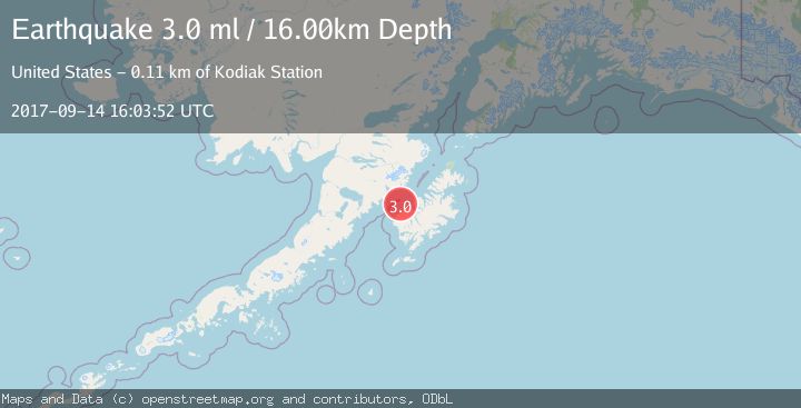
Earthquake KODIAK ISLAND REGION, ALASKA
Thu, 14 Sep 2017 16:03:52 GMT
Time8 years ago
Location
57.7400, -154.4400
Depth
16.0 KM
Event Summary
A 3.0 magnitude earthquake struck on KODIAK ISLAND REGION, ALASKA, at Thu, 14 Sep 2017 16:03:52 GMT. Depth: 16km. Reviewed by NEIR seismologists, this minor quake occurred at a magnitude type of ml.
Magnitude
3.0
ml
Source
NEIR
Intensity
-
Agency Reports
1 Sources| Source | Magnitude | Depth | Time |
|---|---|---|---|
| NEIRPrimary | 3.0 | 16 km | 8 years ago |
Earthquake Details
AutomaticEvent IDemsc_NEIR_20170914_0000065
Tsunami PotentialNo
Magnitude Typeml
Nearest Places
- Cape Uyak12.7 km
- Northeast Harbor13.5 km
- Rocky Point15.0 km
- Shelikhov Strait15.8 km
- Wolcott Reef16.4 km
Comments
Join the discussion about this event.
Latest Earthquakes
0.6Mag
6 km WNW of Cobb, CA
Time4 hours ago
Depth1.68 km
SourceUSGS (Automatic)
2.1Mag
Southern Alaska
Time4 hours ago
Depth27.59 km
SourceVYT (Automatic)
2.5Mag
CENTRAL CALIFORNIA
Time4 hours ago
Depth14.90 km
SourceNC (Automatic)
2.7Mag
Tarapaca, Chile
Time5 hours ago
Depth123.54 km
SourceVYT (Automatic)
1.0Mag
Southeastern Alaska
Time5 hours ago
Depth0.00 km
SourceVYT (Automatic)
Nearby Earthquakes
2.1Mag
19 km N of Karluk, Alaska
Time2 weeks ago
Depth56.00 km
SourceUSGS (Automatic)
1.7Mag
22 km N of Karluk, Alaska
Time3 weeks ago
Depth51.40 km
SourceUSGS (Automatic)
3.0Mag
KODIAK ISLAND REGION, ALASKA
Time2 years ago
Depth42.50 km
SourceAK (Automatic)
2.5Mag
Kodiak Island region, Alaska
Time6 days ago
Depth56.15 km
SourceVYT (Automatic)
5.0Mag
KODIAK ISLAND REGION, ALASKA
Time20 years ago
Depth40.00 km
SourceEMSC (Automatic)