Earthquake 19 km N of Karluk, Alaska
Fri, 30 Jan 2026 04:40:56 GMT
Time1 hour ago
Location
57.7420, -154.4950
Depth
56.0 KM
Event Summary
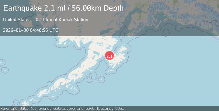
A 2.1 magnitude earthquake struck on 19 km N of Karluk, Alaska, at Fri, 30 Jan 2026 04:40:56 GMT. Depth: 56km. Reviewed by USGS seismologists, this minor quake occurred at a magnitude type of ml.
Magnitude
2.1
ml
Source
USGS
Intensity
-
Agency Reports
1 Sources| Source | Magnitude | Depth | Time |
|---|---|---|---|
| USGSPrimary | 2.1 | 56 km | 1 hour ago |
Earthquake Details
AutomaticEvent IDusgs_ak2026cbpjqj
Tsunami PotentialNo
Magnitude Typeml
Nearest Places
- Cape Uyak14.6 km
- Northeast Harbor15.3 km
- Shelikhov Strait16.1 km
- Gurney Bay16.9 km
- Karluk Lagoon Dam17.4 km
Comments
Join the discussion about this event.
Latest Earthquakes
2.5Mag
NORTHERN ITALY
Time1 hour ago
Depth18.00 km
SourceOGS (Automatic)
2.7Mag
WESTERN TURKEY
Time1 hour ago
Depth17.00 km
SourceKOERI (Automatic)
3.4Mag
New Guinea, Papua New Guinea
Time1 hour ago
Depth10.00 km
SourceBMKG (Automatic)
2.4Mag
12 km NW of Fox River, Alaska
Time1 hour ago
Depth57.90 km
SourceUSGS (Automatic)
2.2Mag
Minahassa Peninsula, Sulawesi
Time1 hour ago
Depth13.30 km
SourceBMKG (Automatic)
Nearby Earthquakes
1.7Mag
22 km N of Karluk, Alaska
Time1 week ago
Depth51.40 km
SourceUSGS (Automatic)
2.2Mag
15 km W of Karluk, Alaska
Time4 days ago
Depth22.10 km
SourceUSGS (Automatic)
1.3Mag
60 km NNW of Karluk, Alaska
Time3 days ago
Depth5.00 km
SourceUSGS (Automatic)
1.5Mag
61 km N of Karluk, Alaska
Time3 days ago
Depth83.80 km
SourceUSGS (Automatic)
2.1Mag
70 km N of Karluk, Alaska
Time12 hours ago
Depth97.30 km
SourceUSGS (Automatic)