Earthquake SOUTHERN ALASKA
Tue, 26 Jun 2018 17:19:00 GMT
Time7 years ago
Location
60.1900, -153.0600
Depth
141.0 KM
Event Summary
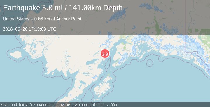
A 3.0 magnitude earthquake struck on SOUTHERN ALASKA, at Tue, 26 Jun 2018 17:19:00 GMT. Depth: 141km. Reviewed by NEIR seismologists, this minor quake occurred at a magnitude type of ml.
Magnitude
3.0
ml
Source
NEIR
Intensity
-
Agency Reports
1 Sources| Source | Magnitude | Depth | Time |
|---|---|---|---|
| NEIRPrimary | 3.0 | 141 km | 7 years ago |
Earthquake Details
AutomaticEvent IDemsc_NEIR_20180626_0000338
Tsunami PotentialNo
Magnitude Typeml
Nearest Places
- Tuxedni Glacier7.7 km
- Tuxedni Glacier7.7 km
- Johnson Glacier9.6 km
- Open Creek10.0 km
- Mount Nick12.0 km
Comments
Join the discussion about this event.
Latest Earthquakes
2.1Mag
Flores Region, Indonesia
Time3 minutes ago
Depth165.90 km
SourceBMKG
2.4Mag
Sumbawa region, Indonesia
Time4 minutes ago
Depth19.65 km
SourceVYT (Automatic)
2.1Mag
Poland
Time7 minutes ago
Depth1.95 km
SourceVYT (Automatic)
1.7Mag
2 km NW of Enterprise, Nevada
Time15 minutes ago
Depth15.89 km
SourceUSGS (Automatic)
1.3Mag
Southeastern Alaska
Time16 minutes ago
Depth7.20 km
SourceVYT (Automatic)
Nearby Earthquakes
2.5Mag
67 km E of Port Alsworth, Alaska
Time2 weeks ago
Depth130.60 km
SourceUSGS (Automatic)
1.7Mag
72 km E of Port Alsworth, Alaska
Time1 week ago
Depth126.60 km
SourceUSGS (Automatic)
3.0Mag
SOUTHERN ALASKA
Time8 months ago
Depth121.30 km
SourceAK (Automatic)
3.0Mag
SOUTHERN ALASKA
Time4 years ago
Depth143.00 km
SourceNEIC (Automatic)
2.1Mag
72 km WNW of Happy Valley, Alaska
Time3 weeks ago
Depth124.00 km
SourceUSGS (Automatic)