Earthquake 72 km E of Port Alsworth, Alaska
Mon, 09 Feb 2026 19:10:01 GMT
Time1 hour ago
Location
60.2040, -153.0040
Depth
126.6 KM
Event Summary
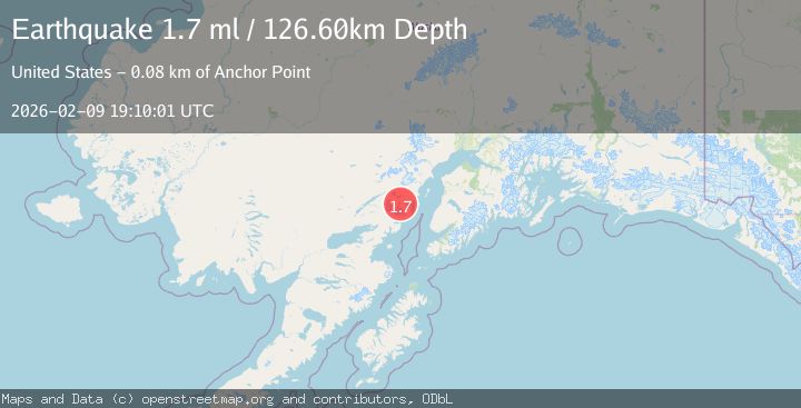
A 1.7 magnitude earthquake struck on 72 km E of Port Alsworth, Alaska, at Mon, 09 Feb 2026 19:10:01 GMT. Depth: 126.6km. Reviewed by USGS seismologists, this minor quake occurred at a magnitude type of ml.
Magnitude
1.7
ml
Source
USGS
Intensity
-
Agency Reports
1 Sources| Source | Magnitude | Depth | Time |
|---|---|---|---|
| USGSPrimary | 1.7 | 127 km | 1 hour ago |
Earthquake Details
AutomaticEvent IDusgs_ak2026cvblis
Tsunami PotentialNo
Magnitude Typeml
Nearest Places
- Tuxedni Glacier6.3 km
- Open Creek6.6 km
- Magnetic Island9.7 km
- Tuxedni River9.7 km
- Tuxedni Glacier10.4 km
Comments
Join the discussion about this event.
Latest Earthquakes
3.7Mag
Near North Coast of West Papua
Time12 minutes ago
Depth13.18 km
SourceBMKG (Automatic)
2.1Mag
NORTHERN CALIFORNIA
Time17 minutes ago
Depth3.60 km
SourceNC (Automatic)
2.7Mag
OFFSHORE VALPARAISO, CHILE
Time20 minutes ago
Depth34.20 km
SourceCSN (Automatic)
2.2Mag
WESTERN TURKEY
Time21 minutes ago
Depth6.20 km
SourceKOERI (Automatic)
3.1Mag
NEAR COAST OF NICARAGUA
Time26 minutes ago
Depth8.00 km
SourceINET (Automatic)
Nearby Earthquakes
2.1Mag
72 km WNW of Happy Valley, Alaska
Time2 weeks ago
Depth124.00 km
SourceUSGS (Automatic)
2.1Mag
73 km WNW of Ninilchik, Alaska
Time6 days ago
Depth128.00 km
SourceUSGS (Automatic)
2.5Mag
71 km WNW of Ninilchik, Alaska
Time2 weeks ago
Depth129.30 km
SourceUSGS (Automatic)
2.5Mag
67 km E of Port Alsworth, Alaska
Time1 week ago
Depth130.60 km
SourceUSGS (Automatic)
2.9Mag
69 km WNW of Ninilchik, Alaska
Time1 week ago
Depth125.80 km
SourceUSGS (Automatic)