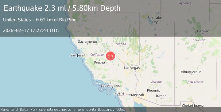
Earthquake CENTRAL CALIFORNIA
Tue, 17 Feb 2026 17:27:47 GMT
Time20 hours ago
Location
37.2303, -117.9285
Depth
3.7 KM
Event Summary
A 2.0 magnitude earthquake struck on CENTRAL CALIFORNIA, at Tue, 17 Feb 2026 17:27:47 GMT. Depth: 3.7km. Reviewed by NN seismologists, this minor quake occurred at a magnitude type of ml.
Magnitude
2.0
ml
Source
NN
Intensity
-
Agency Reports
2 Sources| Source | Magnitude | Depth | Time |
|---|---|---|---|
| NNPrimary | 2.0 | 4 km | 20 hours ago |
| USGS | 2.0 | 4 km | 20 hours ago |
Earthquake Details
AutomaticEvent IDemsc_NN_20260217_0000256
Tsunami PotentialNo
Magnitude Typeml
Nearest Places
- Harlis and Broady Mine1.0 km
- Nikolaus Eureka Mine2.0 km
- Loretto Mine2.3 km
- Lime Hill3.4 km
- Victor Cons Mine4.3 km
Comments
Join the discussion about this event.
Latest Earthquakes
1.9Mag
Antofagasta, Chile
Time20 hours ago
Depth14.53 km
SourceVYT (Automatic)
2.3Mag
Poland
Time20 hours ago
Depth0.00 km
SourceVYT (Automatic)
4.9Mag
Minahasa, Sulawesi, Indonesia
Time20 hours ago
Depth93.63 km
SourceVYT (Automatic)
3.5Mag
PERU-ECUADOR BORDER REGION
Time20 hours ago
Depth64.00 km
SourceQUI (Automatic)
2.0Mag
Poland
Time20 hours ago
Depth8.18 km
SourceVYT (Automatic)
Nearby Earthquakes
3.5Mag
CENTRAL CALIFORNIA
Time1 month ago
Depth10.90 km
SourceNEIC (Automatic)
1.7Mag
35 km SSE of Dyer, Nevada
Time2 weeks ago
Depth2.19 km
SourceUSGS (Automatic)
3.0Mag
CENTRAL CALIFORNIA
Time9 years ago
Depth1.00 km
SourceNEIR (Automatic)
1.5Mag
15 km NE of Big Pine, California
Time2 days ago
Depth3.84 km
SourceUSGS (Automatic)
1.8Mag
28 km S of Dyer, Nevada
Time4 days ago
Depth1.74 km
SourceUSGS (Automatic)