Earthquake PHILIPPINE ISLANDS REGION
Tue, 02 Feb 2021 17:11:06 GMT
Time5 years ago
Location
5.6200, 127.2300
Depth
114.0 KM
Event Summary
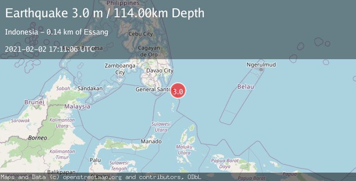
A 3.0 magnitude earthquake struck on PHILIPPINE ISLANDS REGION, at Tue, 02 Feb 2021 17:11:06 GMT. Depth: 114km. Reviewed by PIVS seismologists, this minor quake occurred at a magnitude type of m.
Magnitude
3.0
m
Source
PIVS
Intensity
-
Agency Reports
1 Sources| Source | Magnitude | Depth | Time |
|---|---|---|---|
| PIVSPrimary | 3.0 | 114 km | 5 years ago |
Earthquake Details
AutomaticEvent IDemsc_PIVS_20210202_0000219
Tsunami PotentialNo
Magnitude Typem
Nearest Places
- Tanjung Dapapa71.1 km
- Desa Pulau Miangas71.8 km
- Kecamatan Miangas71.9 km
- Pulau Miangas71.9 km
- Pulau Baronto72.3 km
Comments
Join the discussion about this event.
Latest Earthquakes
0.7Mag
3 km NNW of The Geysers, CA
Time9 hours ago
Depth2.60 km
SourceUSGS (Automatic)
1.1Mag
33 km SSE of Glacier View, Alaska
Time9 hours ago
Depth20.20 km
SourceUSGS (Automatic)
1.8Mag
50 km W of Mentone, Texas
Time9 hours ago
Depth3.75 km
SourceUSGS (Automatic)
0.9Mag
81 km NNW of Karluk, Alaska
Time9 hours ago
Depth34.10 km
SourceUSGS (Automatic)
1.5Mag
Tarapaca, Chile
Time9 hours ago
Depth32.84 km
SourceVYT (Automatic)
Nearby Earthquakes
5.3Mag
Philippine Islands Region
Time4 days ago
Depth10.00 km
SourceBMKG
3.0Mag
PHILIPPINE ISLANDS REGION
Time5 years ago
Depth6.00 km
SourcePIVS (Automatic)
3.0Mag
PHILIPPINE ISLANDS REGION
Time2 years ago
Depth122.00 km
SourcePIVS (Automatic)
5.0Mag
PHILIPPINE ISLANDS REGION
Time18 years ago
Depth56.00 km
SourceGFZ (Automatic)
5.1Mag
PHILIPPINE ISLANDS REGION
Time8 years ago
Depth66.00 km
SourceEMSC (Automatic)