Earthquake PHILIPPINE ISLANDS REGION
Fri, 02 Jan 2026 14:32:38 GMT
Time1 month ago
Location
5.8900, 127.2600
Depth
82.0 KM
Event Summary
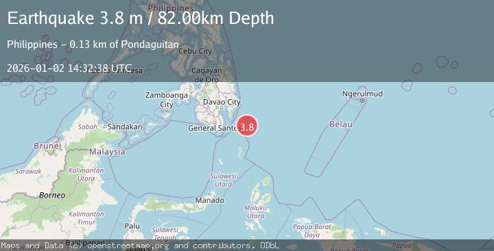
A 3.8 magnitude earthquake struck on PHILIPPINE ISLANDS REGION, at Fri, 02 Jan 2026 14:32:38 GMT. Depth: 82km. Reviewed by PIVS seismologists, this minor quake occurred at a magnitude type of m.
Magnitude
3.8
m
Source
PIVS
Intensity
-
Agency Reports
1 Sources| Source | Magnitude | Depth | Time |
|---|---|---|---|
| PIVSPrimary | 3.8 | 82 km | 1 month ago |
Earthquake Details
AutomaticEvent IDemsc_PIVS_20260102_0000189
Tsunami PotentialNo
Magnitude Typem
Nearest Places
- Tanjung Dapapa82.5 km
- Desa Pulau Miangas83.4 km
- Kecamatan Miangas83.5 km
- Pulau Miangas83.5 km
- Miangas84.2 km
Comments
Join the discussion about this event.
Latest Earthquakes
2.4Mag
western Texas
Time3 minutes ago
Depth6.10 km
SourceVYT (Automatic)
2.8Mag
Southern Alaska
Time6 minutes ago
Depth14.04 km
SourceVYT (Automatic)
2.4Mag
Southern Alaska
Time8 minutes ago
Depth139.28 km
SourceVYT (Automatic)
1.3Mag
3 km NNE of Moreno Valley, CA
Time9 minutes ago
Depth17.92 km
SourceUSGS (Automatic)
2.5Mag
Minahassa Peninsula, Sulawesi
Time9 minutes ago
Depth139.10 km
SourceBMKG
Nearby Earthquakes
3.0Mag
PHILIPPINE ISLANDS REGION
Time2 years ago
Depth33.00 km
SourcePIVS (Automatic)
3.2Mag
PHILIPPINE ISLANDS REGION
Time3 weeks ago
Depth4.00 km
SourcePIVS (Automatic)
3.0Mag
PHILIPPINE ISLANDS REGION
Time4 years ago
Depth108.00 km
SourcePIVS (Automatic)
3.0Mag
PHILIPPINE ISLANDS REGION
Time4 years ago
Depth30.00 km
SourcePIVS (Automatic)
4.0Mag
PHILIPPINE ISLANDS REGION
Time3 years ago
Depth15.00 km
SourcePIVS (Automatic)