Earthquake MORO GULF, MINDANAO, PHILIPPINES
Mon, 19 Jan 2026 19:20:07 GMT
Time1 month ago
Location
6.5000, 123.8400
Depth
8.0 KM
Event Summary
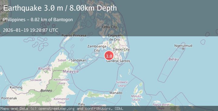
A 3.0 magnitude earthquake struck on MORO GULF, MINDANAO, PHILIPPINES, at Mon, 19 Jan 2026 19:20:07 GMT. Depth: 8km. Reviewed by PIVS seismologists, this minor quake occurred at a magnitude type of m.
Magnitude
3.0
m
Source
PIVS
Intensity
-
Agency Reports
1 Sources| Source | Magnitude | Depth | Time |
|---|---|---|---|
| PIVSPrimary | 3.0 | 8 km | 1 month ago |
Earthquake Details
AutomaticEvent IDemsc_PIVS_20260119_0000265
Tsunami PotentialNo
Magnitude Typem
Nearest Places
- Donaung Shoals16.4 km
- Nara Point20.3 km
- Point Pitas20.6 km
- Donauang Island20.7 km
- Pidtaguinan Point20.8 km
Comments
Join the discussion about this event.
Latest Earthquakes
0.9Mag
Washington
Time16 hours ago
Depth0.00 km
SourceVYT (Automatic)
2.7Mag
western Texas
Time16 hours ago
Depth1.34 km
SourceVYT (Automatic)
2.7Mag
Fox Islands, Aleutian Islands, Alaska
Time16 hours ago
Depth18.07 km
SourceVYT (Automatic)
4.6Mag
Offshore southern Greece
Time16 hours ago
Depth119.26 km
SourceVYT (Automatic)
3.0Mag
Poland
Time16 hours ago
Depth0.24 km
SourceVYT (Automatic)
Nearby Earthquakes
3.2Mag
MORO GULF, MINDANAO, PHILIPPINES
Time0 months ago
Depth14.00 km
SourcePIVS (Automatic)
3.0Mag
MORO GULF, MINDANAO, PHILIPPINES
Time0 months ago
Depth22.00 km
SourcePIVS (Automatic)
4.5Mag
Mindanao, Philippines
Time3 weeks ago
Depth170.01 km
SourceBMKG (Automatic)
4.0Mag
MORO GULF, MINDANAO, PHILIPPINES
Time7 years ago
Depth1.00 km
SourcePIVS (Automatic)
4.7Mag
MORO GULF, MINDANAO, PHILIPPINES
Time3 weeks ago
Depth35.00 km
SourceEMSC (Automatic)