Earthquake MORO GULF, MINDANAO, PHILIPPINES
Tue, 20 Jan 2026 06:46:35 GMT
Time1 month ago
Location
6.3200, 123.7100
Depth
5.0 KM
Event Summary
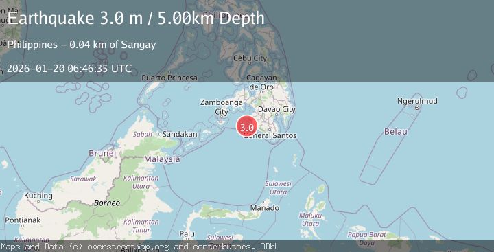
A 3.0 magnitude earthquake struck on MORO GULF, MINDANAO, PHILIPPINES, at Tue, 20 Jan 2026 06:46:35 GMT. Depth: 5km. Reviewed by PIVS seismologists, this minor quake occurred at a magnitude type of m.
Magnitude
3.0
m
Source
PIVS
Intensity
-
Agency Reports
1 Sources| Source | Magnitude | Depth | Time |
|---|---|---|---|
| PIVSPrimary | 3.0 | 5 km | 1 month ago |
Earthquake Details
AutomaticEvent IDemsc_PIVS_20260120_0000103
Tsunami PotentialNo
Magnitude Typem
Nearest Places
- 37.9 km
- 37.9 km
- 38.1 km
- 38.6 km
- 38.6 km
Comments
Join the discussion about this event.
Latest Earthquakes
1.9Mag
Southern California
Time7 minutes ago
Depth11.11 km
SourceVYT (Automatic)
1.9Mag
Sweden
Time9 minutes ago
Depth11.84 km
SourceVYT (Automatic)
0.8Mag
9 km NNW of Perryville, Alaska
Time11 minutes ago
Depth118.40 km
SourceUSGS (Automatic)
0.5Mag
Northern Territory, Australia
Time14 minutes ago
Depth5.00 km
SourceVYT (Automatic)
3.5Mag
OFF E. COAST OF N. ISLAND, N.Z.
Time17 minutes ago
Depth207.40 km
SourceGNS (Automatic)
Nearby Earthquakes
3.7Mag
MORO GULF, MINDANAO, PHILIPPINES
Time3 weeks ago
Depth10.00 km
SourceNEIC (Automatic)
3.0Mag
MORO GULF, MINDANAO, PHILIPPINES
Time1 month ago
Depth24.00 km
SourcePIVS (Automatic)
3.9Mag
MORO GULF, MINDANAO, PHILIPPINES
Time1 month ago
Depth9.70 km
SourceNEIC (Automatic)
4.5Mag
MORO GULF, MINDANAO, PHILIPPINES
Time1 month ago
Depth10.00 km
SourceNEIC (Automatic)
3.5Mag
MORO GULF, MINDANAO, PHILIPPINES
Time3 weeks ago
Depth9.00 km
SourcePIVS (Automatic)