Earthquake MORO GULF, MINDANAO, PHILIPPINES
Sat, 31 Jan 2026 23:02:46 GMT
Time4 days ago
Location
6.2900, 123.7100
Depth
9.0 KM
Event Summary
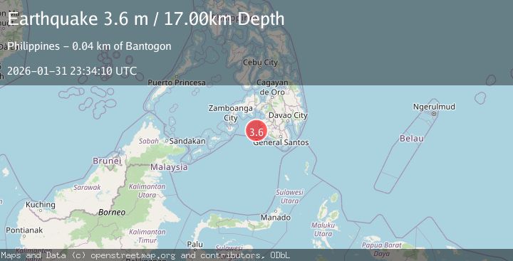
A 3.6 magnitude earthquake struck on MORO GULF, MINDANAO, PHILIPPINES, at Sat, 31 Jan 2026 23:02:46 GMT. Depth: 9km. Reviewed by PIVS seismologists, this minor quake occurred at a magnitude type of m.
Magnitude
3.6
m
Source
PIVS
Intensity
-
Agency Reports
1 Sources| Source | Magnitude | Depth | Time |
|---|---|---|---|
| PIVSPrimary | 3.6 | 17 km | 4 days ago |
Earthquake Details
AutomaticEvent IDemsc_PIVS_20260131_0000357
Tsunami PotentialNo
Magnitude Typem
Nearest Places
- Sangay Point39.1 km
- Donauang Island39.3 km
- Kiponget39.5 km
- Tuna Point39.6 km
- Heart Break Beach39.6 km
Comments
Join the discussion about this event.
Latest Earthquakes
2.9Mag
Northern Molucca Sea
Time6 hours ago
Depth26.98 km
SourceBMKG (Automatic)
1.5Mag
13 km NNW of Sutcliffe, Nevada
Time6 hours ago
Depth7.82 km
SourceUSGS (Automatic)
3.0Mag
Off West Coast of Northern Sumatra
Time6 hours ago
Depth51.70 km
SourceBMKG (Automatic)
2.4Mag
NORTHERN CALIFORNIA
Time6 hours ago
Depth27.00 km
SourceNC (Automatic)
1.8Mag
4 km ESE of San Ramon, CA
Time6 hours ago
Depth4.41 km
SourceUSGS (Automatic)
Nearby Earthquakes
4.3Mag
Mindanao, Philippines
Time1 week ago
Depth116.84 km
SourceBMKG (Automatic)
3.0Mag
MORO GULF, MINDANAO, PHILIPPINES
Time2 weeks ago
Depth24.00 km
SourcePIVS (Automatic)
4.4Mag
Mindanao, Philippines
Time1 week ago
Depth10.00 km
SourceBMKG (Automatic)
4.2Mag
MORO GULF, MINDANAO, PHILIPPINES
Time3 days ago
Depth16.00 km
SourcePIVS (Automatic)
3.1Mag
MORO GULF, MINDANAO, PHILIPPINES
Time1 week ago
Depth20.00 km
SourcePIVS (Automatic)