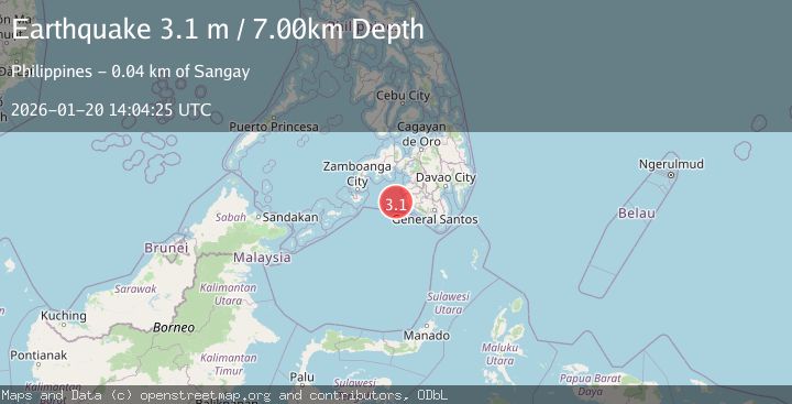
Earthquake MORO GULF, MINDANAO, PHILIPPINES
Tue, 20 Jan 2026 14:04:25 GMT
Time1 month ago
Location
6.4400, 123.6600
Depth
7.0 KM
Event Summary
A 3.1 magnitude earthquake struck on MORO GULF, MINDANAO, PHILIPPINES, at Tue, 20 Jan 2026 14:04:25 GMT. Depth: 7km. Reviewed by PIVS seismologists, this minor quake occurred at a magnitude type of m.
Magnitude
3.1
m
Source
PIVS
Intensity
-
Agency Reports
1 Sources| Source | Magnitude | Depth | Time |
|---|---|---|---|
| PIVSPrimary | 3.1 | 7 km | 1 month ago |
Earthquake Details
AutomaticEvent IDemsc_PIVS_20260120_0000219
Tsunami PotentialNo
Magnitude Typem
Nearest Places
- 37.2 km
- 40.1 km
- 40.8 km
- 41.0 km
- 41.1 km
Comments
Join the discussion about this event.
Latest Earthquakes
1.6Mag
Southeastern Alaska
Time2 hours ago
Depth0.00 km
SourceVYT (Automatic)
3.3Mag
Antofagasta, Chile
Time2 hours ago
Depth85.94 km
SourceVYT (Automatic)
1.6Mag
82 km NE of Tonopah, Nevada
Time2 hours ago
Depth2.64 km
SourceUSGS (Automatic)
4.7Mag
Seram, Indonesia
Time2 hours ago
Depth14.40 km
SourceVYT (Automatic)
1.7Mag
Southern Alaska
Time2 hours ago
Depth0.00 km
SourceVYT (Automatic)
Nearby Earthquakes
3.0Mag
MORO GULF, MINDANAO, PHILIPPINES
Time2 hours ago
Depth17.00 km
SourcePIVS (Automatic)
3.0Mag
MORO GULF, MINDANAO, PHILIPPINES
Time1 month ago
Depth8.00 km
SourcePIVS (Automatic)
4.7Mag
MORO GULF, MINDANAO, PHILIPPINES
Time1 month ago
Depth23.00 km
SourcePIVS (Automatic)
3.1Mag
MORO GULF, MINDANAO, PHILIPPINES
Time1 month ago
Depth10.00 km
SourcePIVS (Automatic)
3.6Mag
MORO GULF, MINDANAO, PHILIPPINES
Time1 month ago
Depth3.00 km
SourcePIVS (Automatic)