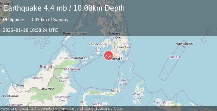
Earthquake MORO GULF, MINDANAO, PHILIPPINES
Wed, 28 Jan 2026 09:53:07 GMT
Time1 hour ago
Location
6.6100, 123.6800
Depth
4.0 KM
Event Summary
A 3.1 magnitude earthquake struck on MORO GULF, MINDANAO, PHILIPPINES, at Wed, 28 Jan 2026 09:53:07 GMT. Depth: 4km. Reviewed by PIVS seismologists, this minor quake occurred at a magnitude type of m.
Magnitude
3.1
m
Source
PIVS
Intensity
-
Agency Reports
1 Sources| Source | Magnitude | Depth | Time |
|---|---|---|---|
| PIVSPrimary | 3.1 | 4 km | 1 hour ago |
Earthquake Details
AutomaticEvent IDemsc_PIVS_20260128_0000177
Tsunami PotentialNo
Magnitude Typem
Nearest Places
- Huidobro Reef33.4 km
- Donaung Shoals35.1 km
- Linao Point36.8 km
- Salpa Point37.1 km
- Ipil Point37.2 km
Comments
Join the discussion about this event.
Latest Earthquakes
2.6Mag
Flores Sea
Time1 hour ago
Depth141.92 km
SourceBMKG (Automatic)
1.5Mag
8 km NNW of Delano, CA
Time1 hour ago
Depth18.79 km
SourceUSGS (Automatic)
2.1Mag
FRANCE
Time1 hour ago
Depth5.00 km
SourceReNaSS (Automatic)
1.7Mag
4 km NNE of Chickaloon, Alaska
Time1 hour ago
Depth37.60 km
SourceUSGS (Automatic)
2.1Mag
WESTERN TURKEY
Time1 hour ago
Depth23.60 km
SourceKOERI (Automatic)
Nearby Earthquakes
5.1Mag
MORO GULF, MINDANAO, PHILIPPINES
Time2 hours ago
Depth1.00 km
SourcePIVS (Automatic)
3.1Mag
MORO GULF, MINDANAO, PHILIPPINES
Time3 days ago
Depth19.00 km
SourcePIVS (Automatic)
3.0Mag
MORO GULF, MINDANAO, PHILIPPINES
Time2 days ago
Depth9.00 km
SourcePIVS (Automatic)
3.0Mag
MORO GULF, MINDANAO, PHILIPPINES
Time5 days ago
Depth6.00 km
SourcePIVS (Automatic)
3.2Mag
MORO GULF, MINDANAO, PHILIPPINES
Time1 day ago
Depth3.00 km
SourcePIVS (Automatic)