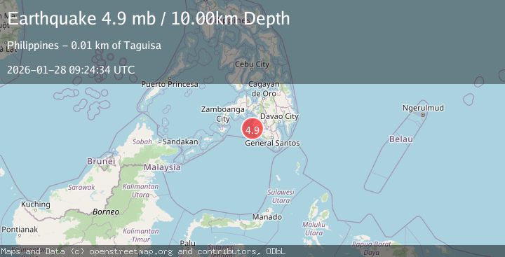
Earthquake MORO GULF, MINDANAO, PHILIPPINES
Wed, 28 Jan 2026 08:43:35 GMT
Time1 hour ago
Location
6.6000, 123.6100
Depth
1.0 KM
Event Summary
A 3.4 magnitude earthquake struck on MORO GULF, MINDANAO, PHILIPPINES, at Wed, 28 Jan 2026 08:43:35 GMT. Depth: 1km. Reviewed by PIVS seismologists, this minor quake occurred at a magnitude type of m.
Magnitude
3.4
m
Source
PIVS
Intensity
-
Agency Reports
1 Sources| Source | Magnitude | Depth | Time |
|---|---|---|---|
| PIVSPrimary | 3.4 | 1 km | 1 hour ago |
Earthquake Details
AutomaticEvent IDemsc_PIVS_20260128_0000148
Tsunami PotentialNo
Magnitude Typem
Nearest Places
- Huidobro Reef40.8 km
- Donaung Shoals42.3 km
- Ipil Point44.1 km
- Linao Point44.2 km
- Salpa Point44.6 km
Comments
Join the discussion about this event.
Latest Earthquakes
2.7Mag
Near North Coast of West Papua
Time1 hour ago
Depth25.99 km
SourceBMKG (Automatic)
1.9Mag
39 km NNW of Toyah, Texas
Time1 hour ago
Depth6.72 km
SourceUSGS (Automatic)
0.6Mag
NORTHERN ITALY
Time1 hour ago
Depth0.00 km
SourceOGS (Automatic)
2.9Mag
Sumba Region, Indonesia
Time1 hour ago
Depth30.29 km
SourceBMKG (Automatic)
1.5Mag
20 km NNE of Indio, CA
Time1 hour ago
Depth5.17 km
SourceUSGS (Automatic)
Nearby Earthquakes
3.1Mag
MORO GULF, MINDANAO, PHILIPPINES
Time3 days ago
Depth19.00 km
SourcePIVS (Automatic)
3.0Mag
MORO GULF, MINDANAO, PHILIPPINES
Time5 days ago
Depth6.00 km
SourcePIVS (Automatic)
3.2Mag
MORO GULF, MINDANAO, PHILIPPINES
Time1 day ago
Depth3.00 km
SourcePIVS (Automatic)
3.5Mag
MORO GULF, MINDANAO, PHILIPPINES
Time15 hours ago
Depth19.00 km
SourcePIVS (Automatic)
3.1Mag
MORO GULF, MINDANAO, PHILIPPINES
Time6 days ago
Depth15.00 km
SourcePIVS (Automatic)