Earthquake MORO GULF, MINDANAO, PHILIPPINES
Sun, 01 Feb 2026 03:00:05 GMT
Time2 weeks ago
Location
6.4400, 123.7700
Depth
5.0 KM
Event Summary
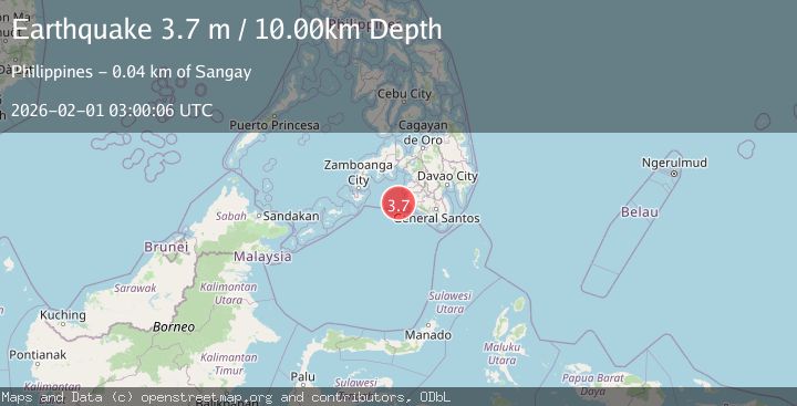
A 3.7 magnitude earthquake struck on MORO GULF, MINDANAO, PHILIPPINES, at Sun, 01 Feb 2026 03:00:05 GMT. Depth: 5km. Reviewed by PIVS seismologists, this minor quake occurred at a magnitude type of m.
Magnitude
3.7
m
Source
PIVS
Intensity
-
Agency Reports
1 Sources| Source | Magnitude | Depth | Time |
|---|---|---|---|
| PIVSPrimary | 3.7 | 5 km | 2 weeks ago |
Earthquake Details
AutomaticEvent IDemsc_PIVS_20260201_0000043
Tsunami PotentialNo
Magnitude Typem
Nearest Places
- Donaung Shoals25.7 km
- Donauang Island28.0 km
- Basiauang Bay28.7 km
- Danawan Point28.8 km
- Basiauang Point29.0 km
Comments
Join the discussion about this event.
Latest Earthquakes
2.2Mag
Finland
Time15 hours ago
Depth24.05 km
SourceVYT (Automatic)
2.8Mag
Central Alaska
Time15 hours ago
Depth0.00 km
SourceVYT (Automatic)
1.7Mag
Southern Alaska
Time15 hours ago
Depth0.00 km
SourceVYT (Automatic)
1.0Mag
Alaska Peninsula
Time15 hours ago
Depth0.61 km
SourceVYT (Automatic)
2.0Mag
western Texas
Time15 hours ago
Depth0.00 km
SourceVYT (Automatic)
Nearby Earthquakes
4.2Mag
MORO GULF, MINDANAO, PHILIPPINES
Time0 months ago
Depth10.00 km
SourcePIVS (Automatic)
3.0Mag
MORO GULF, MINDANAO, PHILIPPINES
Time2 weeks ago
Depth7.00 km
SourcePIVS (Automatic)
5.0Mag
Mindanao, Philippines
Time3 weeks ago
Depth10.00 km
SourceBMKG (Automatic)
3.8Mag
MORO GULF, MINDANAO, PHILIPPINES
Time2 weeks ago
Depth18.00 km
SourcePIVS (Automatic)
3.0Mag
MORO GULF, MINDANAO, PHILIPPINES
Time3 weeks ago
Depth23.00 km
SourcePIVS (Automatic)