Earthquake SOUTHERN CALIFORNIA
Tue, 06 Jan 2026 13:33:44 GMT
Time1 month ago
Location
33.9380, -116.6240
Depth
5.2 KM
Event Summary
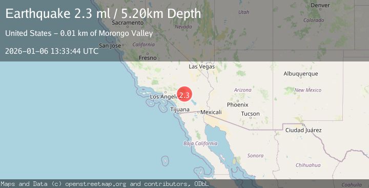
A 2.3 magnitude earthquake struck on SOUTHERN CALIFORNIA, at Tue, 06 Jan 2026 13:33:44 GMT. Depth: 5.2km. Reviewed by SCSN seismologists, this minor quake occurred at a magnitude type of ml.
Magnitude
2.3
ml
Source
SCSN
Intensity
-
Agency Reports
1 Sources| Source | Magnitude | Depth | Time |
|---|---|---|---|
| SCSNPrimary | 2.3 | 5 km | 1 month ago |
Earthquake Details
AutomaticEvent IDemsc_SCSN_20260106_0000241
Tsunami PotentialNo
Magnitude Typeml
Nearest Places
- Super Creek0.6 km
- Super Creek Mine1.4 km
- Painted Hill1.6 km
- Whitewater Hill1.7 km
- Painted Hill Trail1.7 km
Comments
Join the discussion about this event.
Latest Earthquakes
2.0Mag
Finland-Russia border region
Time2 minutes ago
Depth256.59 km
SourceVYT (Automatic)
1.5Mag
29 km SSW of Whites City, New Mexico
Time4 minutes ago
Depth0.00 km
SourceUSGS (Automatic)
1.7Mag
Southern Alaska
Time6 minutes ago
Depth0.00 km
SourceVYT (Automatic)
2.2Mag
California-Baja California border region
Time6 minutes ago
Depth19.17 km
SourceVYT (Automatic)
1.6Mag
Southern Alaska
Time7 minutes ago
Depth75.56 km
SourceVYT (Automatic)
Nearby Earthquakes
3.0Mag
SOUTHERN CALIFORNIA
Time6 years ago
Depth17.00 km
SourceNEIR (Automatic)
3.0Mag
SOUTHERN CALIFORNIA
Time6 months ago
Depth6.60 km
SourceSCSN (Automatic)
2.1Mag
9 km WSW of Garnet, CA
Time3 weeks ago
Depth16.09 km
SourceUSGS (Automatic)
1.2Mag
8 km SW of Morongo Valley, CA
Time11 hours ago
Depth15.22 km
SourceUSGS (Automatic)
1.5Mag
8 km SW of Morongo Valley, CA
Time12 hours ago
Depth14.40 km
SourceUSGS (Automatic)