Earthquake WESTERN TEXAS
Fri, 16 Jan 2026 05:11:06 GMT
Time1 month ago
Location
31.5250, -104.0250
Depth
7.3 KM
Event Summary
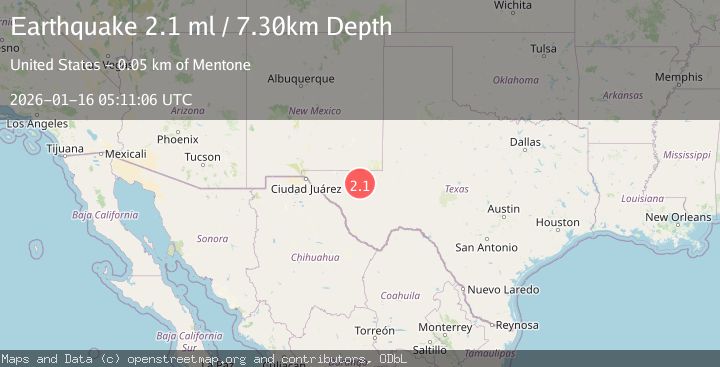
A 2.1 magnitude earthquake struck on WESTERN TEXAS, at Fri, 16 Jan 2026 05:11:06 GMT. Depth: 7.3km. Reviewed by TX seismologists, this minor quake occurred at a magnitude type of ml.
Magnitude
2.1
ml
Source
TX
Intensity
-
Agency Reports
1 Sources| Source | Magnitude | Depth | Time |
|---|---|---|---|
| TXPrimary | 2.1 | 7 km | 1 month ago |
Earthquake Details
AutomaticEvent IDemsc_TX_20260116_0000074
Tsunami PotentialNo
Magnitude Typeml
Nearest Places
- Juan Windmill1.8 km
- Dry Lake3.6 km
- Dutch Draw4.9 km
- Lynn Tank6.7 km
- Oil Well Windmill8.1 km
Comments
Join the discussion about this event.
Latest Earthquakes
1.0Mag
Southeastern Alaska
Time7 minutes ago
Depth0.00 km
SourceVYT (Automatic)
3.5Mag
COOK STRAIT, NEW ZEALAND
Time8 minutes ago
Depth75.30 km
SourceGNS (Automatic)
2.5Mag
Seram, Indonesia
Time10 minutes ago
Depth21.28 km
SourceBMKG
2.6Mag
West Papua Region, Indonesia
Time12 minutes ago
Depth17.35 km
SourceBMKG
5.0Mag
CENTRAL MID-ATLANTIC RIDGE
Time13 minutes ago
Depth10.00 km
SourceEMSC (Automatic)
Nearby Earthquakes
1.9Mag
32 km NW of Toyah, Texas
Time5 hours ago
Depth4.09 km
SourceUSGS (Automatic)
2.3Mag
WESTERN TEXAS
Time1 month ago
Depth4.50 km
SourceTX (Automatic)
1.8Mag
32 km NW of Toyah, Texas
Time1 week ago
Depth4.45 km
SourceUSGS (Automatic)
1.6Mag
31 km NW of Toyah, Texas
Time2 weeks ago
Depth4.47 km
SourceUSGS (Automatic)
2.4Mag
WESTERN TEXAS
Time3 weeks ago
Depth7.30 km
SourceTX (Automatic)