Earthquake 16 km SW of Larsen Bay, Alaska
Thu, 01 Jan 2026 16:09:07 GMT
Time1 hour ago
Location
57.4190, -154.1500
Depth
41.5 KM
Event Summary
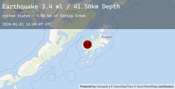
A 3.4 magnitude earthquake struck on 16 km SW of Larsen Bay, Alaska, at Thu, 01 Jan 2026 16:09:07 GMT. Depth: 41.5km. Reviewed by USGS seismologists, this minor quake occurred at a magnitude type of ml.
Magnitude
3.4
ml
Source
USGS
Intensity
-
Earthquake Details
AutomaticEvent IDusgs_ak2026abgdbz
Tsunami PotentialNo
Magnitude Typeml
Nearest Places
- Spring Creek4.0 km
- Tent Point4.7 km
- Moraine Creek4.9 km
- Grassy Point5.9 km
- Cottonwood Creek6.6 km
Comments
Join the discussion about this event.
Latest Earthquakes
2.3Mag
Minahassa Peninsula, Sulawesi
Time5 minutes ago
Depth10.00 km
SourceBMKG (Automatic)
2.6Mag
Java, Indonesia
Time12 minutes ago
Depth10.00 km
SourceBMKG (Automatic)
2.7Mag
JAVA, INDONESIA
Time12 minutes ago
Depth25.00 km
SourceBMKG (Automatic)
0.6Mag
3 km NNW of The Geysers, CA
Time17 minutes ago
Depth3.56 km
SourceUSGS (Automatic)
2.8Mag
CZECH REPUBLIC
Time21 minutes ago
Depth3.60 km
SourceGFZ (Automatic)
Nearby Earthquakes
2.0Mag
25 km SE of Larsen Bay, Alaska
Time1 hour ago
Depth9.60 km
SourceUSGS (Automatic)
3.4Mag
KODIAK ISLAND REGION, ALASKA
Time1 hour ago
Depth41.50 km
SourceEMSC (Automatic)
2.2Mag
30 km NNE of Karluk, Alaska
Time2 hours ago
Depth56.60 km
SourceUSGS (Automatic)
2.5Mag
48 km W of Karluk, Alaska
Time3 hours ago
Depth68.20 km
SourceUSGS (Automatic)
2.4Mag
50 km W of Karluk, Alaska
Time3 hours ago
Depth70.60 km
SourceUSGS (Automatic)