Earthquake 25 km SE of Larsen Bay, Alaska
Thu, 01 Jan 2026 16:32:42 GMT
Time1 hour ago
Location
57.3840, -153.6760
Depth
9.6 KM
Event Summary
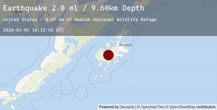
A 2.0 magnitude earthquake struck on 25 km SE of Larsen Bay, Alaska, at Thu, 01 Jan 2026 16:32:42 GMT. Depth: 9.6km. Reviewed by USGS seismologists, this minor quake occurred at a magnitude type of ml.
Magnitude
2.0
ml
Source
USGS
Intensity
-
Earthquake Details
AutomaticEvent IDusgs_ak2026abgxle
Tsunami PotentialNo
Magnitude Typeml
Nearest Places
- Kodiak National Wildlife Refuge6.5 km
- Alf Island10.3 km
- Aleutian Rock11.0 km
- SS Aleutian11.2 km
- Amook Bay11.5 km
Comments
Join the discussion about this event.
Latest Earthquakes
2.3Mag
West Papua Region, Indonesia
Time10 minutes ago
Depth15.99 km
SourceBMKG (Automatic)
2.7Mag
CZECH REPUBLIC
Time13 minutes ago
Depth3.60 km
SourceGFZ (Automatic)
3.0Mag
MINDORO, PHILIPPINES
Time19 minutes ago
Depth35.00 km
SourcePIVS (Automatic)
2.1Mag
NEVADA
Time20 minutes ago
Depth1.80 km
SourceNN (Automatic)
2.1Mag
7 km ENE of Hawthorne, Nevada
Time20 minutes ago
Depth1.84 km
SourceUSGS (Automatic)
Nearby Earthquakes
3.4Mag
KODIAK ISLAND REGION, ALASKA
Time1 hour ago
Depth41.50 km
SourceEMSC (Automatic)
3.4Mag
16 km SW of Larsen Bay, Alaska
Time1 hour ago
Depth41.50 km
SourceUSGS (Automatic)
2.2Mag
30 km NNE of Karluk, Alaska
Time3 hours ago
Depth56.60 km
SourceUSGS (Automatic)
2.5Mag
48 km W of Karluk, Alaska
Time3 hours ago
Depth68.20 km
SourceUSGS (Automatic)
1.5Mag
58 km N of Karluk, Alaska
Time4 hours ago
Depth5.00 km
SourceUSGS (Automatic)