Earthquake 87 km W of Karluk, Alaska
Fri, 02 Jan 2026 20:55:11 GMT
Time1 hour ago
Location
57.5620, -155.9150
Depth
4.5 KM
Event Summary
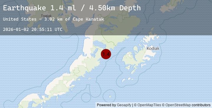
A 1.4 magnitude earthquake struck on 87 km W of Karluk, Alaska, at Fri, 02 Jan 2026 20:55:11 GMT. Depth: 4.5km. Reviewed by USGS seismologists, this minor quake occurred at a magnitude type of ml.
Magnitude
1.4
ml
Source
USGS
Intensity
-
Agency Reports
1 Sources| Source | Magnitude | Depth | Time |
|---|---|---|---|
| USGSPrimary | 1.4 | 5 km | 1 hour ago |
Earthquake Details
AutomaticEvent IDusgs_ak2026adlinh
Tsunami PotentialNo
Magnitude Typeml
Nearest Places
- Cape Kanatak3.0 km
- Jute Bay4.5 km
- Jute Islands4.6 km
- Jute Island4.6 km
- Island Bay5.0 km
Comments
Join the discussion about this event.
Latest Earthquakes
3.0Mag
SAN JUAN, ARGENTINA
Time15 minutes ago
Depth75.00 km
SourceNSNA (Automatic)
4.4Mag
Banda Sea
Time18 minutes ago
Depth95.47 km
SourceBMKG (Automatic)
1.8Mag
WESTERN TURKEY
Time30 minutes ago
Depth5.30 km
SourceEMSC (Automatic)
2.8Mag
45 km SSE of Denali National Park, Alaska
Time30 minutes ago
Depth0.00 km
SourceUSGS (Automatic)
4.2Mag
JUJUY, ARGENTINA
Time41 minutes ago
Depth252.00 km
SourceEMSC (Automatic)