Earthquake 14 km NNW of Four Mile Road, Alaska
Sat, 03 Jan 2026 10:02:13 GMT
Time5 days ago
Location
64.7110, -149.2830
Depth
26.5 KM
Event Summary
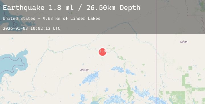
A 1.8 magnitude earthquake struck on 14 km NNW of Four Mile Road, Alaska, at Sat, 03 Jan 2026 10:02:13 GMT. Depth: 26.5km. Reviewed by USGS seismologists, this minor quake occurred at a magnitude type of ml.
Magnitude
1.8
ml
Source
USGS
Intensity
-
Agency Reports
1 Sources| Source | Magnitude | Depth | Time |
|---|---|---|---|
| USGSPrimary | 1.8 | 27 km | 5 days ago |
Earthquake Details
AutomaticEvent IDusgs_ak2026aelkss
Tsunami PotentialNo
Magnitude Typeml
Nearest Places
- Linder Lakes4.6 km
- Soldier Slough6.6 km
- Sawmill Island7.3 km
- Nunivak Slough8.9 km
- Totchaket Slough9.3 km
Comments
Join the discussion about this event.
Latest Earthquakes
3.5Mag
AEGEAN SEA
Time5 days ago
Depth10.00 km
SourceTHE (Automatic)
2.7Mag
Flores Region, Indonesia
Time5 days ago
Depth15.53 km
SourceBMKG (Automatic)
2.1Mag
Sumbawa Region, Indonesia
Time5 days ago
Depth40.94 km
SourceBMKG (Automatic)
2.7Mag
CENTRAL CALIFORNIA
Time5 days ago
Depth1.40 km
SourceNC (Automatic)
0.3Mag
79 km ENE of Port Alsworth, Alaska
Time5 days ago
Depth24.60 km
SourceUSGS (Automatic)
Nearby Earthquakes
2.7Mag
8 km SSE of South Van Horn, Alaska
Time5 days ago
Depth19.80 km
SourceUSGS (Automatic)
1.0Mag
17 km WSW of Ester, Alaska
Time5 days ago
Depth5.00 km
SourceUSGS (Automatic)
0.8Mag
17 km WSW of Ester, Alaska
Time5 days ago
Depth3.20 km
SourceUSGS (Automatic)
1.2Mag
18 km WSW of Ester, Alaska
Time5 days ago
Depth5.00 km
SourceUSGS (Automatic)
0.9Mag
32 km E of Minto, Alaska
Time6 days ago
Depth8.30 km
SourceUSGS (Automatic)