Earthquake 38 km NW of Mentasta Lake, Alaska
Wed, 07 Jan 2026 10:16:42 GMT
Time2 days ago
Location
63.1310, -144.3750
Depth
4.2 KM
Event Summary
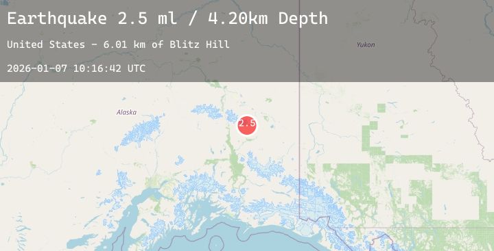
A 2.5 magnitude earthquake struck on 38 km NW of Mentasta Lake, Alaska, at Wed, 07 Jan 2026 10:16:42 GMT. Depth: 4.2km. Reviewed by USGS seismologists, this minor quake occurred at a magnitude type of ml.
Magnitude
2.5
ml
Source
USGS
Intensity
-
Agency Reports
1 Sources| Source | Magnitude | Depth | Time |
|---|---|---|---|
| USGSPrimary | 2.5 | 4 km | 2 days ago |
Earthquake Details
AutomaticEvent IDusgs_ak2026aluusp
Tsunami PotentialNo
Magnitude Typeml
Nearest Places
- Blitz Hill6.0 km
- Tok Glacier8.5 km
- Gillett Pass9.2 km
- Bedrock Creek12.7 km
- Sawmill13.0 km
Comments
Join the discussion about this event.
Latest Earthquakes
2.3Mag
Sumbawa Region, Indonesia
Time2 days ago
Depth24.52 km
SourceBMKG (Automatic)
2.3Mag
65 km ESE of Cantwell, Alaska
Time2 days ago
Depth8.50 km
SourceUSGS (Automatic)
2.9Mag
OFFSHORE EL SALVADOR
Time2 days ago
Depth36.00 km
SourceINET (Automatic)
3.5Mag
MINDANAO, PHILIPPINES
Time2 days ago
Depth6.00 km
SourcePIVS (Automatic)
3.1Mag
Sumbawa Region, Indonesia
Time2 days ago
Depth10.00 km
SourceBMKG (Automatic)