Earthquake 58 km W of Anchor Point, Alaska
Wed, 07 Jan 2026 23:57:06 GMT
Time2 days ago
Location
59.8350, -152.8600
Depth
92.0 KM
Event Summary
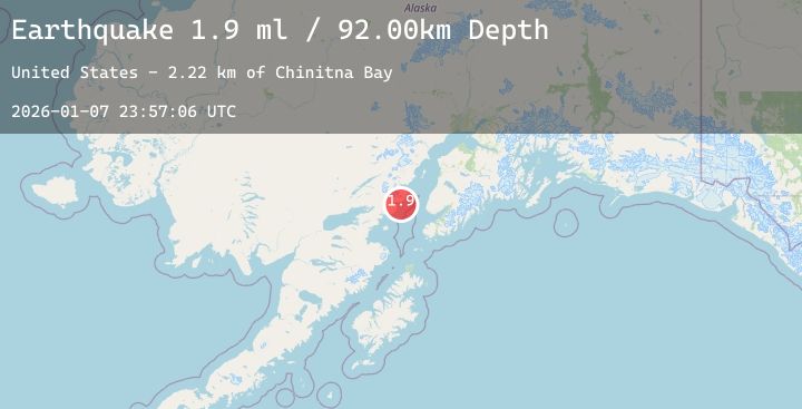
A 1.9 magnitude earthquake struck on 58 km W of Anchor Point, Alaska, at Wed, 07 Jan 2026 23:57:06 GMT. Depth: 92km. Reviewed by USGS seismologists, this minor quake occurred at a magnitude type of ml.
Magnitude
1.9
ml
Source
USGS
Intensity
-
Agency Reports
1 Sources| Source | Magnitude | Depth | Time |
|---|---|---|---|
| USGSPrimary | 1.9 | 92 km | 2 days ago |
Earthquake Details
AutomaticEvent IDusgs_ak2026amvzrm
Tsunami PotentialNo
Magnitude Typeml
Nearest Places
- Chinitna Bay2.8 km
- Spring Point5.7 km
- East Glacier Creek5.8 km
- Spring Lakes5.9 km
- Shelter Cove6.5 km
Comments
Join the discussion about this event.
Latest Earthquakes
0.5Mag
9 km NW of The Geysers, CA
Time2 days ago
Depth5.82 km
SourceUSGS (Automatic)
2.7Mag
Northern Sumatra, Indonesia
Time2 days ago
Depth2.18 km
SourceBMKG (Automatic)
2.8Mag
Southern Sumatra, Indonesia
Time2 days ago
Depth28.22 km
SourceBMKG (Automatic)
3.0Mag
Ceram Sea
Time2 days ago
Depth5.13 km
SourceBMKG (Automatic)
2.7Mag
SAN JUAN, ARGENTINA
Time2 days ago
Depth116.00 km
SourceNSNA (Automatic)