Earthquake 30 km NNE of Four Mile Road, Alaska
Thu, 08 Jan 2026 19:25:17 GMT
Time2 days ago
Location
64.8720, -148.9860
Depth
19.1 KM
Event Summary
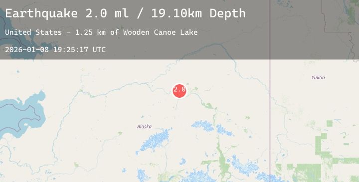
A 2.0 magnitude earthquake struck on 30 km NNE of Four Mile Road, Alaska, at Thu, 08 Jan 2026 19:25:17 GMT. Depth: 19.1km. Reviewed by USGS seismologists, this minor quake occurred at a magnitude type of ml.
Magnitude
2.0
ml
Source
USGS
Intensity
-
Agency Reports
1 Sources| Source | Magnitude | Depth | Time |
|---|---|---|---|
| USGSPrimary | 2.0 | 19 km | 2 days ago |
Earthquake Details
AutomaticEvent IDusgs_ak2026aoisid
Tsunami PotentialNo
Magnitude Typeml
Nearest Places
- Wooden Canoe Lake1.3 km
- Big Lake2.6 km
- Beaver Dam Lake3.5 km
- Grassy Lake4.1 km
- All Hand Help Lake4.1 km
Comments
Join the discussion about this event.
Latest Earthquakes
2.6Mag
56 km E of Egegik, Alaska
Time2 days ago
Depth5.00 km
SourceUSGS (Automatic)
1.1Mag
2 km S of Borrego Springs, CA
Time2 days ago
Depth2.27 km
SourceUSGS (Automatic)
4.4Mag
South of Java, Indonesia
Time2 days ago
Depth10.00 km
SourceBMKG (Automatic)
3.3Mag
Southern Sumatra, Indonesia
Time2 days ago
Depth10.00 km
SourceBMKG (Automatic)
2.7Mag
West Papua Region, Indonesia
Time2 days ago
Depth93.16 km
SourceBMKG (Automatic)