Earthquake 8 km N of Sterling, Alaska
Fri, 09 Jan 2026 01:50:30 GMT
Time2 days ago
Location
60.6090, -150.7540
Depth
11.6 KM
Event Summary
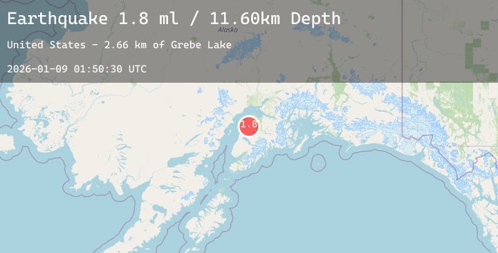
A 1.8 magnitude earthquake struck on 8 km N of Sterling, Alaska, at Fri, 09 Jan 2026 01:50:30 GMT. Depth: 11.6km. Reviewed by USGS seismologists, this minor quake occurred at a magnitude type of ml.
Magnitude
1.8
ml
Source
USGS
Intensity
-
Agency Reports
1 Sources| Source | Magnitude | Depth | Time |
|---|---|---|---|
| USGSPrimary | 1.8 | 12 km | 2 days ago |
Earthquake Details
AutomaticEvent IDusgs_ak2026aovmgv
Tsunami PotentialNo
Magnitude Typeml
Nearest Places
- Grebe Lake2.7 km
- Camp Island Lake3.0 km
- Savka Lake3.5 km
- Beaver Pond Lake3.7 km
- Mosquito Lake4.3 km
Comments
Join the discussion about this event.
Latest Earthquakes
2.6Mag
Sumba Region, Indonesia
Time2 days ago
Depth52.89 km
SourceBMKG (Automatic)
1.4Mag
7 km NW of The Geysers, CA
Time2 days ago
Depth1.32 km
SourceUSGS (Automatic)
3.9Mag
ANTOFAGASTA, CHILE
Time2 days ago
Depth105.60 km
SourceCSN (Automatic)
2.6Mag
SOUTHERN GREECE
Time2 days ago
Depth28.10 km
SourceNOA (Automatic)
2.0Mag
16 km SSE of Caliente, Nevada
Time2 days ago
Depth10.74 km
SourceUSGS (Automatic)
Nearby Earthquakes
1.9Mag
32 km NW of Nikiski, Alaska
Time2 days ago
Depth77.60 km
SourceUSGS (Automatic)
1.9Mag
22 km ESE of Kasilof, Alaska
Time2 days ago
Depth56.50 km
SourceUSGS (Automatic)
1.9Mag
51 km WSW of Salamatof, Alaska
Time2 days ago
Depth82.90 km
SourceUSGS (Automatic)
2.1Mag
4 km W of Cooper Landing, Alaska
Time2 days ago
Depth42.60 km
SourceUSGS (Automatic)