Earthquake 51 km WSW of Salamatof, Alaska
Thu, 08 Jan 2026 07:25:43 GMT
Time1 day ago
Location
60.5210, -152.2360
Depth
82.9 KM
Event Summary
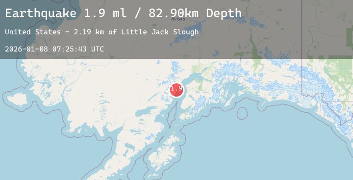
A 1.9 magnitude earthquake struck on 51 km WSW of Salamatof, Alaska, at Thu, 08 Jan 2026 07:25:43 GMT. Depth: 82.9km. Reviewed by USGS seismologists, this minor quake occurred at a magnitude type of ml.
Magnitude
1.9
ml
Source
USGS
Intensity
-
Agency Reports
1 Sources| Source | Magnitude | Depth | Time |
|---|---|---|---|
| USGSPrimary | 1.9 | 83 km | 1 day ago |
Earthquake Details
AutomaticEvent IDusgs_ak2026ankwfw
Tsunami PotentialNo
Magnitude Typeml
Nearest Places
- Little Jack Slough2.2 km
- Redoubt Astro5.8 km
- Katchin Creek5.9 km
- Drift River Terminal6.7 km
- Cannery Creek7.1 km
Comments
Join the discussion about this event.
Latest Earthquakes
1.2Mag
1 km E of Colton, CA
Time1 day ago
Depth15.49 km
SourceUSGS (Automatic)
2.5Mag
PUERTO RICO REGION
Time1 day ago
Depth11.70 km
SourcePR (Automatic)
1.6Mag
59 km NNE of Chase, Alaska
Time1 day ago
Depth65.00 km
SourceUSGS (Automatic)
3.1Mag
GEORGIA (SAK'ART'VELO)
Time1 day ago
Depth10.00 km
SourceTIF (Automatic)
2.1Mag
Northern Sumatra, Indonesia
Time1 day ago
Depth2.41 km
SourceBMKG (Automatic)
Nearby Earthquakes
2.4Mag
50 km W of Anchor Point, Alaska
Time1 day ago
Depth84.80 km
SourceUSGS (Automatic)
1.8Mag
57 km E of Pedro Bay, Alaska
Time1 day ago
Depth117.90 km
SourceUSGS (Automatic)
1.9Mag
58 km W of Anchor Point, Alaska
Time1 day ago
Depth92.00 km
SourceUSGS (Automatic)
2.3Mag
12 km SE of Clam Gulch, Alaska
Time2 days ago
Depth41.00 km
SourceUSGS (Automatic)
2.4Mag
52 km WNW of Happy Valley, Alaska
Time2 days ago
Depth88.80 km
SourceUSGS (Automatic)