Earthquake 70 km ESE of Denali National Park, Alaska
Sat, 10 Jan 2026 00:34:50 GMT
Time2 days ago
Location
63.2080, -150.5360
Depth
0.2 KM
Event Summary
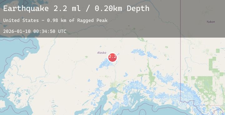
A 2.0 magnitude earthquake struck on 70 km ESE of Denali National Park, Alaska, at Sat, 10 Jan 2026 00:34:50 GMT. Depth: 0.2km. Reviewed by USGS seismologists, this minor quake occurred at a magnitude type of ml.
Magnitude
2.0
ml
Source
USGS
Intensity
-
Agency Reports
1 Sources| Source | Magnitude | Depth | Time |
|---|---|---|---|
| USGSPrimary | 2.0 | 0 km | 2 days ago |
Earthquake Details
AutomaticEvent IDusgs_ak2026aqoryp
Tsunami PotentialNo
Magnitude Typeml
Nearest Places
- Ragged Peak1.0 km
- Wedge Peak1.4 km
- Mount Mather5.3 km
- Mount Deception5.5 km
- Mount Brooks6.0 km
Comments
Join the discussion about this event.
Latest Earthquakes
0.8Mag
14 km NE of Ridgecrest, CA
Time2 days ago
Depth3.43 km
SourceUSGS (Automatic)
2.3Mag
21 km WSW of Susitna North, Alaska
Time2 days ago
Depth46.50 km
SourceUSGS (Automatic)
2.9Mag
Banda Sea
Time2 days ago
Depth20.25 km
SourceBMKG (Automatic)
4.1Mag
PUERTO RICO REGION
Time2 days ago
Depth33.10 km
SourceNEIC (Automatic)
1.0Mag
7 km WNW of Cobb, CA
Time2 days ago
Depth1.70 km
SourceUSGS (Automatic)
Nearby Earthquakes
2.0Mag
53 km ENE of Chase, Alaska
Time2 days ago
Depth56.40 km
SourceUSGS (Automatic)
1.6Mag
6 km SSE of Denali National Park, Alaska
Time2 days ago
Depth5.00 km
SourceUSGS (Automatic)
1.6Mag
6 km S of Cantwell, Alaska
Time2 days ago
Depth0.00 km
SourceUSGS (Automatic)
1.6Mag
22 km NW of Petersville, Alaska
Time2 days ago
Depth80.00 km
SourceUSGS (Automatic)