Earthquake 29 km N of Larsen Bay, Alaska
Mon, 12 Jan 2026 08:04:10 GMT
Time14 hours ago
Location
57.8060, -154.0320
Depth
57.4 KM
Event Summary
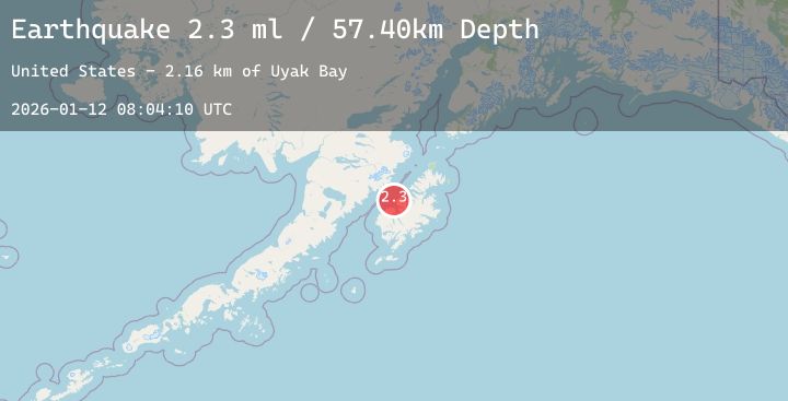
A 2.3 magnitude earthquake struck on 29 km N of Larsen Bay, Alaska, at Mon, 12 Jan 2026 08:04:10 GMT. Depth: 57.4km. Reviewed by USGS seismologists, this minor quake occurred at a magnitude type of ml.
Magnitude
2.3
ml
Source
USGS
Intensity
-
Agency Reports
1 Sources| Source | Magnitude | Depth | Time |
|---|---|---|---|
| USGSPrimary | 2.3 | 57 km | 14 hours ago |
Earthquake Details
AutomaticEvent IDusgs_ak2026auvaxw
Tsunami PotentialNo
Magnitude Typeml
Nearest Places
- Uyak Bay2.2 km
- Cape Kuliuk5.8 km
- Koloock6.9 km
- Twocone Point8.6 km
- Saddle Mountain10.0 km
Comments
Join the discussion about this event.
Latest Earthquakes
0.9Mag
2 km W of Anderson Springs, CA
Time14 hours ago
Depth2.69 km
SourceUSGS (Automatic)
2.8Mag
Minahassa Peninsula, Sulawesi
Time14 hours ago
Depth186.21 km
SourceBMKG (Automatic)
2.4Mag
Timor Region
Time14 hours ago
Depth9.74 km
SourceBMKG (Automatic)
2.7Mag
Northern Sumatra, Indonesia
Time15 hours ago
Depth141.42 km
SourceBMKG (Automatic)
1.8Mag
17 km WSW of Caliente, Nevada
Time15 hours ago
Depth2.00 km
SourceUSGS (Automatic)