Earthquake 2 km W of Anderson Springs, CA
Mon, 12 Jan 2026 08:05:47 GMT
Time14 hours ago
Location
38.7758, -122.7135
Depth
2.7 KM
Event Summary
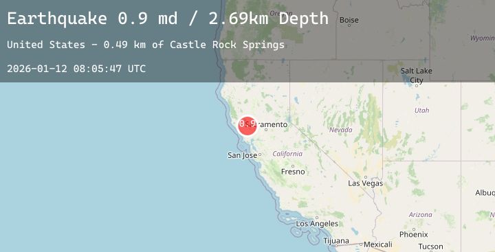
A 0.9 magnitude earthquake struck on 2 km W of Anderson Springs, CA, at Mon, 12 Jan 2026 08:05:47 GMT. Depth: 2.69000005722046km. Reviewed by USGS seismologists, this minor quake occurred at a magnitude type of md.
Magnitude
0.9
md
Source
USGS
Intensity
-
Agency Reports
2 Sources| Source | Magnitude | Depth | Time |
|---|---|---|---|
| USGSPrimary | 0.9 | 3 km | 14 hours ago |
| USGSPrimary | 0.3 | 1 km | 13 hours ago |
Earthquake Details
AutomaticEvent IDusgs_nc75294496
Tsunami PotentialNo
Magnitude Typemd
Nearest Places
- Gunning Creek0.7 km
- Lincoln Rock0.7 km
- Castle Rock Springs0.7 km
- Big Chief Mine1.0 km
- Wardlow Rock1.3 km
Comments
Join the discussion about this event.
Latest Earthquakes
4.7Mag
Minahassa Peninsula, Sulawesi
Time13 hours ago
Depth10.00 km
SourceBMKG (Automatic)
1.5Mag
53 km W of Happy Valley, Alaska
Time13 hours ago
Depth96.80 km
SourceUSGS (Automatic)
2.7Mag
Java, Indonesia
Time14 hours ago
Depth66.49 km
SourceBMKG (Automatic)
1.5Mag
WESTERN TURKEY
Time14 hours ago
Depth11.50 km
SourceEMSC (Automatic)
2.3Mag
29 km N of Larsen Bay, Alaska
Time14 hours ago
Depth57.40 km
SourceUSGS (Automatic)
Nearby Earthquakes
1.1Mag
10 km WNW of The Geysers, CA
Time16 hours ago
Depth1.59 km
SourceUSGS (Automatic)
0.8Mag
8 km NW of The Geysers, CA
Time17 hours ago
Depth2.19 km
SourceUSGS (Automatic)
1.3Mag
12 km ENE of Cloverdale, CA
Time19 hours ago
Depth1.27 km
SourceUSGS (Automatic)
1.7Mag
6 km NW of The Geysers, CA
Time21 hours ago
Depth2.45 km
SourceUSGS (Automatic)
1.7Mag
13 km WNW of The Geysers, CA
Time22 hours ago
Depth3.27 km
SourceUSGS (Automatic)