Earthquake 77 km ENE of McCarthy, Alaska
Tue, 13 Jan 2026 02:58:45 GMT
Time2 hours ago
Location
61.6290, -141.5200
Depth
5.1 KM
Event Summary
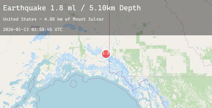
A 1.8 magnitude earthquake struck on 77 km ENE of McCarthy, Alaska, at Tue, 13 Jan 2026 02:58:45 GMT. Depth: 5.1km. Reviewed by USGS seismologists, this minor quake occurred at a magnitude type of ml.
Magnitude
1.8
ml
Source
USGS
Intensity
-
Agency Reports
1 Sources| Source | Magnitude | Depth | Time |
|---|---|---|---|
| USGSPrimary | 1.8 | 5 km | 2 hours ago |
Earthquake Details
AutomaticEvent IDusgs_ak2026awgqps
Tsunami PotentialNo
Magnitude Typeml
Nearest Places
- Mount Sulzer4.9 km
- Giffin Glacier10.9 km
- North Fork Island12.0 km
- Sheep Creek12.8 km
- Divide Creek13.6 km
Comments
Join the discussion about this event.
Latest Earthquakes
1.8Mag
69 km ENE of Pedro Bay, Alaska
Time1 hour ago
Depth123.80 km
SourceUSGS (Automatic)
1.6Mag
3 km SSW of Dublin, CA
Time2 hours ago
Depth14.26 km
SourceUSGS (Automatic)
2.4Mag
AZORES ISLANDS, PORTUGAL
Time2 hours ago
Depth0.90 km
SourcePDA (Automatic)
1.0Mag
10 km SSW of Toms Place, CA
Time2 hours ago
Depth2.41 km
SourceUSGS (Automatic)
4.2Mag
PERU-ECUADOR BORDER REGION
Time2 hours ago
Depth35.00 km
SourceLIM (Automatic)
Nearby Earthquakes
No significant earthquakes nearby recently.