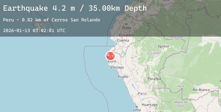
Earthquake PERU-ECUADOR BORDER REGION
Tue, 13 Jan 2026 03:02:01 GMT
Time3 hours ago
Location
-4.8200, -80.8300
Depth
35.0 KM
Event Summary
A 4.2 magnitude earthquake struck on PERU-ECUADOR BORDER REGION, at Tue, 13 Jan 2026 03:02:01 GMT. Depth: 35km. Reviewed by LIM seismologists, this light quake occurred at a magnitude type of m.
Magnitude
4.2
m
Source
LIM
Intensity
-
Agency Reports
1 Sources| Source | Magnitude | Depth | Time |
|---|---|---|---|
| LIMPrimary | 4.2 | 35 km | 3 hours ago |
Earthquake Details
AutomaticEvent IDemsc_20260113_0000048
Tsunami PotentialNo
Magnitude Typem
Nearest Places
- Cerros San Rolando0.8 km
- Cerros Ventarrones0.9 km
- Cerro El Tubo1.5 km
- Quebrada Golondrino1.5 km
- San José1.5 km
Comments
Join the discussion about this event.
Latest Earthquakes
1.4Mag
91 km WNW of Karluk, Alaska
Time3 hours ago
Depth75.40 km
SourceUSGS (Automatic)
1.8Mag
77 km ENE of McCarthy, Alaska
Time3 hours ago
Depth5.10 km
SourceUSGS (Automatic)
4.1Mag
PERU-ECUADOR BORDER REGION
Time3 hours ago
Depth32.00 km
SourceLIM (Automatic)
3.1Mag
Tanimbar Islands Region, Indonesia
Time3 hours ago
Depth92.22 km
SourceBMKG (Automatic)
2.2Mag
8 km WNW of The Geysers, CA
Time3 hours ago
Depth2.23 km
SourceUSGS (Automatic)