Earthquake 92 km SSE of Ugashik, Alaska
Tue, 13 Jan 2026 06:33:00 GMT
Time1 hour ago
Location
56.7790, -156.6660
Depth
68.1 KM
Event Summary
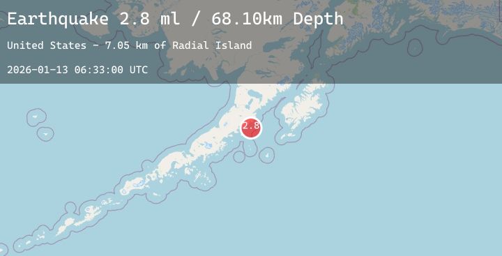
A 2.8 magnitude earthquake struck on 92 km SSE of Ugashik, Alaska, at Tue, 13 Jan 2026 06:33:00 GMT. Depth: 68.1km. Reviewed by USGS seismologists, this minor quake occurred at a magnitude type of ml.
Magnitude
2.8
ml
Source
USGS
Intensity
-
Agency Reports
1 Sources| Source | Magnitude | Depth | Time |
|---|---|---|---|
| USGSPrimary | 2.8 | 68 km | 1 hour ago |
Earthquake Details
AutomaticEvent IDusgs_ak2026awntfg
Tsunami PotentialNo
Magnitude Typeml
Nearest Places
- Radial Island7.0 km
- Devils Finger10.2 km
- Toee Reef11.5 km
- Ugaiushak Island12.0 km
- Aiugnak Columns14.9 km
Comments
Join the discussion about this event.
Latest Earthquakes
2.0Mag
13 km ESE of Angwin, CA
Time2 hours ago
Depth-0.20 km
SourceUSGS (Automatic)
1.5Mag
11 km WSW of Stanton, Texas
Time2 hours ago
Depth4.79 km
SourceUSGS (Automatic)
2.2Mag
73 km S of Nanwalek, Alaska
Time2 hours ago
Depth47.50 km
SourceUSGS (Automatic)
1.2Mag
86 km NNW of Karluk, Alaska
Time2 hours ago
Depth5.00 km
SourceUSGS (Automatic)
3.6Mag
SOUTHERN PERU
Time2 hours ago
Depth21.00 km
SourceLIM (Automatic)
Nearby Earthquakes
No significant earthquakes nearby recently.