Earthquake 86 km NNW of Karluk, Alaska
Tue, 13 Jan 2026 06:08:06 GMT
Time2 hours ago
Location
58.2910, -154.9920
Depth
5.0 KM
Event Summary
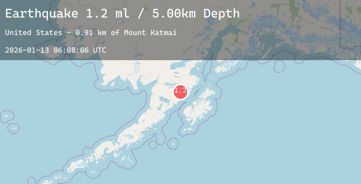
A 1.2 magnitude earthquake struck on 86 km NNW of Karluk, Alaska, at Tue, 13 Jan 2026 06:08:06 GMT. Depth: 5km. Reviewed by USGS seismologists, this minor quake occurred at a magnitude type of ml.
Magnitude
1.2
ml
Source
USGS
Intensity
-
Agency Reports
1 Sources| Source | Magnitude | Depth | Time |
|---|---|---|---|
| USGSPrimary | 1.2 | 5 km | 2 hours ago |
Earthquake Details
AutomaticEvent IDusgs_ak2026awmxts
Tsunami PotentialNo
Magnitude Typeml
Nearest Places
- The Knife Creek Glaciers0.9 km
- Mount Katmai2.7 km
- Crater Lake3.2 km
- The Knife Creek Glacier3.6 km
- Noisy Glacier7.9 km
Comments
Join the discussion about this event.
Latest Earthquakes
3.1Mag
HAITI REGION
Time1 hour ago
Depth10.00 km
SourceAYIT (Automatic)
2.8Mag
92 km SSE of Ugashik, Alaska
Time1 hour ago
Depth68.10 km
SourceUSGS (Automatic)
2.0Mag
13 km ESE of Angwin, CA
Time2 hours ago
Depth-0.20 km
SourceUSGS (Automatic)
1.5Mag
11 km WSW of Stanton, Texas
Time2 hours ago
Depth4.79 km
SourceUSGS (Automatic)
2.7Mag
ANTOFAGASTA, CHILE
Time2 hours ago
Depth120.00 km
SourceCSN (Automatic)
Nearby Earthquakes
1.0Mag
85 km NW of Karluk, Alaska
Time4 hours ago
Depth5.00 km
SourceUSGS (Automatic)
1.4Mag
91 km WNW of Karluk, Alaska
Time5 hours ago
Depth75.40 km
SourceUSGS (Automatic)
0.9Mag
85 km NNW of Karluk, Alaska
Time7 hours ago
Depth5.00 km
SourceUSGS (Automatic)
1.8Mag
88 km WNW of Karluk, Alaska
Time11 hours ago
Depth12.20 km
SourceUSGS (Automatic)
2.1Mag
68 km NNW of Aleneva, Alaska
Time22 hours ago
Depth79.70 km
SourceUSGS (Automatic)