Earthquake 73 km S of Nanwalek, Alaska
Tue, 13 Jan 2026 06:09:33 GMT
Time2 hours ago
Location
58.7090, -152.1480
Depth
47.5 KM
Event Summary
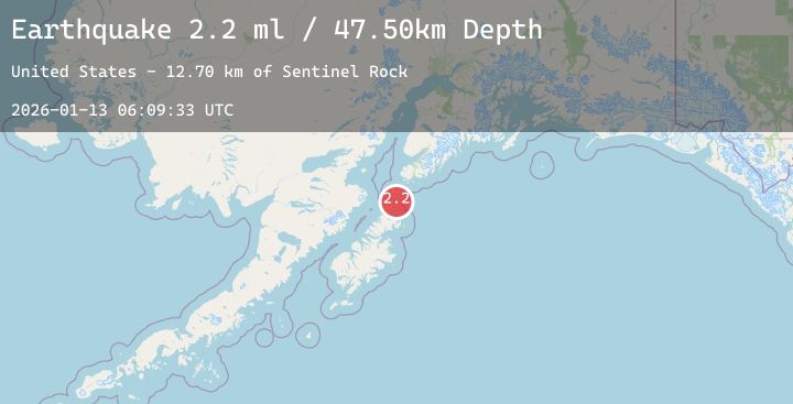
A 2.2 magnitude earthquake struck on 73 km S of Nanwalek, Alaska, at Tue, 13 Jan 2026 06:09:33 GMT. Depth: 47.5km. Reviewed by USGS seismologists, this minor quake occurred at a magnitude type of ml.
Magnitude
2.2
ml
Source
USGS
Intensity
-
Agency Reports
1 Sources| Source | Magnitude | Depth | Time |
|---|---|---|---|
| USGSPrimary | 2.2 | 48 km | 2 hours ago |
Earthquake Details
AutomaticEvent IDusgs_ak2026awmzag
Tsunami PotentialNo
Magnitude Typeml
Nearest Places
- Sentinel Rock12.7 km
- Point Banks12.8 km
- Perevalnie Islands14.5 km
- Back Bay14.9 km
- Perevalnie Passage14.9 km
Comments
Join the discussion about this event.
Latest Earthquakes
1.2Mag
86 km NNW of Karluk, Alaska
Time2 hours ago
Depth5.00 km
SourceUSGS (Automatic)
3.6Mag
SOUTHERN PERU
Time2 hours ago
Depth21.00 km
SourceLIM (Automatic)
2.7Mag
Sunda Strait, Indonesia
Time2 hours ago
Depth1.70 km
SourceBMKG (Automatic)
2.5Mag
COSTA RICA
Time2 hours ago
Depth41.00 km
SourceUNA (Automatic)
2.4Mag
Flores Region, Indonesia
Time2 hours ago
Depth32.78 km
SourceBMKG (Automatic)