Earthquake 54 km N of Petersville, Alaska
Tue, 13 Jan 2026 13:16:25 GMT
Time1 day ago
Location
62.9820, -150.9220
Depth
116.0 KM
Event Summary
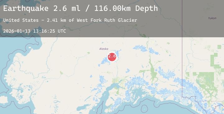
A 2.6 magnitude earthquake struck on 54 km N of Petersville, Alaska, at Tue, 13 Jan 2026 13:16:25 GMT. Depth: 116km. Reviewed by USGS seismologists, this minor quake occurred at a magnitude type of ml.
Magnitude
2.6
ml
Source
USGS
Intensity
-
Agency Reports
1 Sources| Source | Magnitude | Depth | Time |
|---|---|---|---|
| USGSPrimary | 2.6 | 116 km | 1 day ago |
Earthquake Details
AutomaticEvent IDusgs_ak2026axbcwg
Tsunami PotentialNo
Magnitude Typeml
Nearest Places
- West Fork Ruth Glacier1.1 km
- Mount Huntington2.0 km
- The Rooster Comb4.5 km
- Southeast Spur4.6 km
- South Buttress5.9 km
Comments
Join the discussion about this event.
Latest Earthquakes
2.2Mag
Bali Sea
Time1 day ago
Depth23.29 km
SourceBMKG (Automatic)
1.5Mag
17 km NE of Borrego Springs, CA
Time1 day ago
Depth9.84 km
SourceUSGS (Automatic)
2.7Mag
CENTRAL CALIFORNIA
Time1 day ago
Depth5.20 km
SourceNC (Automatic)
1.4Mag
13 km WSW of Stanton, Texas
Time1 day ago
Depth5.00 km
SourceUSGS (Automatic)
2.2Mag
Minahassa Peninsula, Sulawesi
Time1 day ago
Depth23.41 km
SourceBMKG (Automatic)
Nearby Earthquakes
1.9Mag
46 km E of Denali National Park, Alaska
Time2 days ago
Depth1.20 km
SourceUSGS (Automatic)
1.9Mag
32 km E of Chase, Alaska
Time2 days ago
Depth7.40 km
SourceUSGS (Automatic)
2.0Mag
70 km ESE of Denali National Park, Alaska
Time2 days ago
Depth113.00 km
SourceUSGS (Automatic)
2.0Mag
34 km N of Chase, Alaska
Time2 days ago
Depth72.80 km
SourceUSGS (Automatic)