Earthquake 70 km ESE of Denali National Park, Alaska
Mon, 12 Jan 2026 22:31:56 GMT
Time1 hour ago
Location
63.2970, -150.4210
Depth
113.0 KM
Event Summary
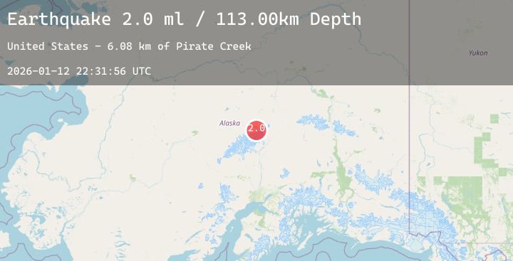
A 2.0 magnitude earthquake struck on 70 km ESE of Denali National Park, Alaska, at Mon, 12 Jan 2026 22:31:56 GMT. Depth: 113km. Reviewed by USGS seismologists, this minor quake occurred at a magnitude type of ml.
Magnitude
2.0
ml
Source
USGS
Intensity
-
Agency Reports
1 Sources| Source | Magnitude | Depth | Time |
|---|---|---|---|
| USGSPrimary | 2.0 | 113 km | 1 hour ago |
Earthquake Details
AutomaticEvent IDusgs_ak2026avxuro
Tsunami PotentialNo
Magnitude Typeml
Nearest Places
- Pirate Creek6.1 km
- Green Point7.3 km
- Red Mountain7.7 km
- Pirate Creek8.2 km
- Denali Wilderness8.2 km
Comments
Join the discussion about this event.
Latest Earthquakes
2.7Mag
Timor Region
Time1 hour ago
Depth5.00 km
SourceBMKG (Automatic)
2.8Mag
Flores Sea
Time1 hour ago
Depth33.56 km
SourceBMKG (Automatic)
1.9Mag
51 km WNW of Toyah, Texas
Time1 hour ago
Depth0.00 km
SourceUSGS (Automatic)
0.7Mag
3 km NW of The Geysers, CA
Time1 hour ago
Depth3.53 km
SourceUSGS (Automatic)
1.9Mag
4 km ESE of Mossyrock, Washington
Time1 hour ago
Depth19.28 km
SourceUSGS (Automatic)
Nearby Earthquakes
2.0Mag
34 km N of Chase, Alaska
Time5 hours ago
Depth72.80 km
SourceUSGS (Automatic)
1.5Mag
13 km N of Cantwell, Alaska
Time9 hours ago
Depth5.00 km
SourceUSGS (Automatic)
2.2Mag
48 km NNE of Chase, Alaska
Time14 hours ago
Depth71.40 km
SourceUSGS (Automatic)
1.6Mag
23 km ESE of Denali National Park, Alaska
Time14 hours ago
Depth2.90 km
SourceUSGS (Automatic)
1.9Mag
45 km WNW of Cantwell, Alaska
Time18 hours ago
Depth104.00 km
SourceUSGS (Automatic)