Earthquake 10 km W of Ninilchik, Alaska
Wed, 14 Jan 2026 22:22:09 GMT
Time2 hours ago
Location
60.0680, -151.8620
Depth
67.0 KM
Event Summary
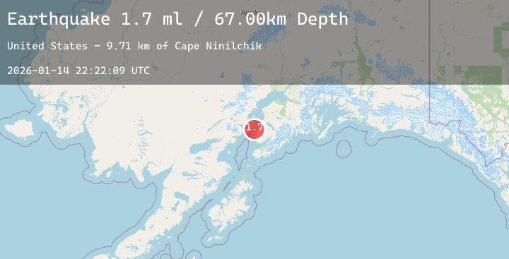
A 1.7 magnitude earthquake struck on 10 km W of Ninilchik, Alaska, at Wed, 14 Jan 2026 22:22:09 GMT. Depth: 67km. Reviewed by USGS seismologists, this minor quake occurred at a magnitude type of ml.
Magnitude
1.7
ml
Source
USGS
Intensity
-
Agency Reports
1 Sources| Source | Magnitude | Depth | Time |
|---|---|---|---|
| USGSPrimary | 1.7 | 67 km | 2 hours ago |
Earthquake Details
AutomaticEvent IDusgs_ak2026azoxzo
Tsunami PotentialNo
Magnitude Typeml
Nearest Places
- Cape Ninilchik9.7 km
- Deep Creek9.9 km
- Ninilchik10.9 km
- Old Ninilchik11.0 km
- Holy Transfiguration of Our Lord Chapel11.1 km
Comments
Join the discussion about this event.
Latest Earthquakes
2.3Mag
105 km NW of Yakutat, Alaska
Time12 minutes ago
Depth5.00 km
SourceUSGS (Automatic)
1.0Mag
46 km NW of Karluk, Alaska
Time21 minutes ago
Depth78.40 km
SourceUSGS (Automatic)
3.3Mag
Seram, Indonesia
Time24 minutes ago
Depth8.68 km
SourceBMKG (Automatic)
2.0Mag
Sumbawa Region, Indonesia
Time28 minutes ago
Depth21.43 km
SourceBMKG (Automatic)
2.0Mag
CENTRAL TURKEY
Time41 minutes ago
Depth7.00 km
SourceEMSC (Automatic)