Earthquake 8 km NNW of Karluk, Alaska
Fri, 16 Jan 2026 21:39:58 GMT
Time2 hours ago
Location
57.6360, -154.5260
Depth
49.6 KM
Event Summary
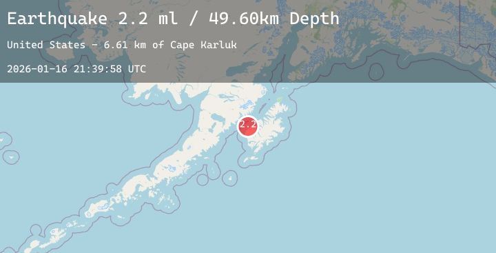
A 2.2 magnitude earthquake struck on 8 km NNW of Karluk, Alaska, at Fri, 16 Jan 2026 21:39:58 GMT. Depth: 49.6km. Reviewed by USGS seismologists, this minor quake occurred at a magnitude type of ml.
Magnitude
2.2
ml
Source
USGS
Intensity
-
Agency Reports
1 Sources| Source | Magnitude | Depth | Time |
|---|---|---|---|
| USGSPrimary | 2.2 | 50 km | 2 hours ago |
Earthquake Details
AutomaticEvent IDusgs_ak2026bdezkr
Tsunami PotentialNo
Magnitude Typeml
Nearest Places
- Cape Karluk6.6 km
- Tanglefoot Bay7.1 km
- Hume Cannery (historical)7.4 km
- Karluk Lagoon Dam7.4 km
- Karluk Anchorage7.4 km
Comments
Join the discussion about this event.
Latest Earthquakes
2.5Mag
23 km W of Cohoe, Alaska
Time2 hours ago
Depth71.70 km
SourceUSGS (Automatic)
3.5Mag
Minahassa Peninsula, Sulawesi
Time2 hours ago
Depth121.46 km
SourceBMKG (Automatic)
2.7Mag
Near North Coast of West Papua
Time2 hours ago
Depth10.00 km
SourceBMKG (Automatic)
3.3Mag
WESTERN TURKEY
Time2 hours ago
Depth10.40 km
SourceKOERI (Automatic)
3.9Mag
ECUADOR
Time2 hours ago
Depth5.00 km
SourceQUI (Automatic)