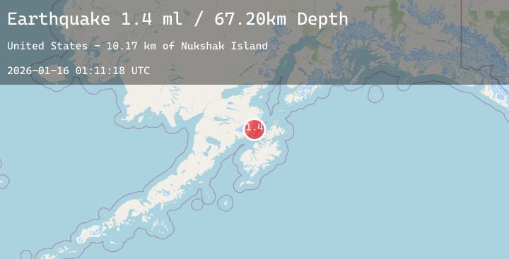
Earthquake 62 km WNW of Aleneva, Alaska
Fri, 16 Jan 2026 01:11:18 GMT
Time1 hour ago
Location
58.3180, -153.8520
Depth
67.2 KM
Event Summary
A 2.0 magnitude earthquake struck on 62 km WNW of Aleneva, Alaska, at Fri, 16 Jan 2026 01:11:18 GMT. Depth: 67.2km. Reviewed by USGS seismologists, this minor quake occurred at a magnitude type of ml.
Magnitude
2.0
ml
Source
USGS
Intensity
-
Agency Reports
1 Sources| Source | Magnitude | Depth | Time |
|---|---|---|---|
| USGSPrimary | 2.0 | 67 km | 1 hour ago |
Earthquake Details
AutomaticEvent IDusgs_ak2026bbqgpz
Tsunami PotentialNo
Magnitude Typeml
Nearest Places
- Nukshak Island10.2 km
- Cape Nukshak11.1 km
- Yugnat Rocks11.3 km
- Kukak Point14.5 km
- Kulichkof Island14.8 km
Comments
Join the discussion about this event.
Latest Earthquakes
2.1Mag
Northern Sumatra, Indonesia
Time4 minutes ago
Depth19.92 km
SourceBMKG (Automatic)
2.6Mag
11 km WSW of Stanton, Texas
Time6 minutes ago
Depth3.73 km
SourceUSGS (Automatic)
2.2Mag
CENTRAL TURKEY
Time22 minutes ago
Depth7.50 km
SourceKOERI (Automatic)
3.4Mag
CENTRAL CALIFORNIA
Time25 minutes ago
Depth10.00 km
SourceNEIC (Automatic)
3.4Mag
Northern Molucca Sea
Time29 minutes ago
Depth9.72 km
SourceBMKG (Automatic)
Nearby Earthquakes
2.0Mag
100 km N of Karluk, Alaska
Time12 hours ago
Depth5.50 km
SourceUSGS (Automatic)
2.0Mag
86 km N of Karluk, Alaska
Time15 hours ago
Depth5.00 km
SourceUSGS (Automatic)
1.7Mag
80 km NNW of Aleneva, Alaska
Time16 hours ago
Depth13.50 km
SourceUSGS (Automatic)
1.8Mag
28 km NNE of Karluk, Alaska
Time21 hours ago
Depth32.80 km
SourceUSGS (Automatic)