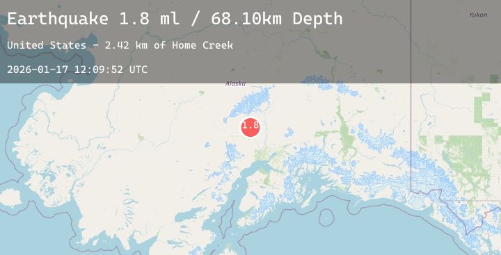
Earthquake 31 km NNE of Skwentna, Alaska
Sat, 17 Jan 2026 12:09:52 GMT
Time2 hours ago
Location
62.2390, -151.1220
Depth
68.1 KM
Event Summary
A 1.8 magnitude earthquake struck on 31 km NNE of Skwentna, Alaska, at Sat, 17 Jan 2026 12:09:52 GMT. Depth: 68.1km. Reviewed by USGS seismologists, this minor quake occurred at a magnitude type of ml.
Magnitude
1.8
ml
Source
USGS
Intensity
-
Agency Reports
1 Sources| Source | Magnitude | Depth | Time |
|---|---|---|---|
| USGSPrimary | 1.8 | 68 km | 2 hours ago |
Earthquake Details
AutomaticEvent IDusgs_ak2026behvar
Tsunami PotentialNo
Magnitude Typeml
Nearest Places
- Home Creek2.4 km
- Willow Mountain3.2 km
- Shovel Lake4.2 km
- Pickle Creek9.1 km
- Shovel Creek9.7 km
Comments
Join the discussion about this event.
Latest Earthquakes
0.7Mag
10 km WNW of The Geysers, CA
Time8 minutes ago
Depth2.70 km
SourceUSGS (Automatic)
4.0Mag
Sumbawa Region, Indonesia
Time16 minutes ago
Depth53.47 km
SourceBMKG (Automatic)
3.3Mag
CENTRAL CALIFORNIA
Time16 minutes ago
Depth7.20 km
SourceNC (Automatic)
2.9Mag
OKLAHOMA
Time18 minutes ago
Depth5.00 km
SourceOK (Automatic)
1.7Mag
31 km NW of Toyah, Texas
Time27 minutes ago
Depth4.52 km
SourceUSGS (Automatic)
Nearby Earthquakes
1.7Mag
23 km W of Skwentna, Alaska
Time3 hours ago
Depth93.90 km
SourceUSGS (Automatic)
2.1Mag
14 km W of Petersville, Alaska
Time13 hours ago
Depth72.80 km
SourceUSGS (Automatic)
2.1Mag
57 km NNW of Petersville, Alaska
Time21 hours ago
Depth121.90 km
SourceUSGS
2.8Mag
6 km N of Houston, Alaska
Time22 hours ago
Depth27.00 km
SourceUSGS (Automatic)