Earthquake 38 km WSW of Clear, Alaska
Sat, 17 Jan 2026 23:45:17 GMT
Time1 hour ago
Location
64.1100, -149.9030
Depth
14.8 KM
Event Summary
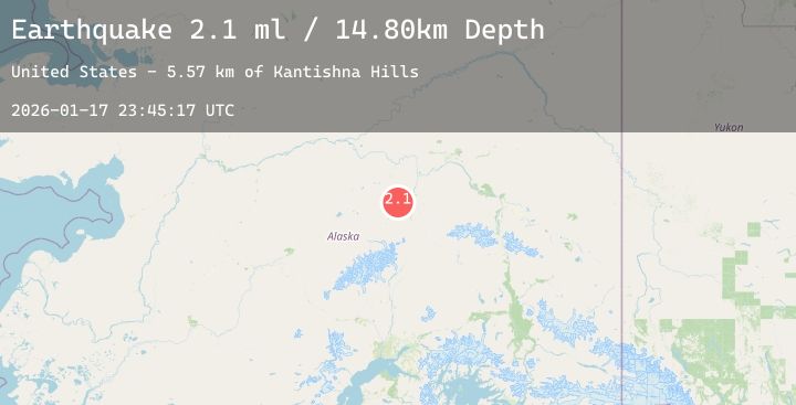
A 2.1 magnitude earthquake struck on 38 km WSW of Clear, Alaska, at Sat, 17 Jan 2026 23:45:17 GMT. Depth: 14.8km. Reviewed by USGS seismologists, this minor quake occurred at a magnitude type of ml.
Magnitude
2.1
ml
Source
USGS
Intensity
-
Agency Reports
1 Sources| Source | Magnitude | Depth | Time |
|---|---|---|---|
| USGSPrimary | 2.1 | 15 km | 1 hour ago |
Earthquake Details
AutomaticEvent IDusgs_ak2026bfewhk
Tsunami PotentialNo
Magnitude Typeml
Nearest Places
- Kantishna Hills5.6 km
- Sushana River6.7 km
- Alaska13.1 km
- Bearpaw Creek13.1 km
- Totek Hills18.4 km
Comments
Join the discussion about this event.
Latest Earthquakes
2.3Mag
Java, Indonesia
Time2 hours ago
Depth8.25 km
SourceBMKG (Automatic)
2.6Mag
55 km WNW of Sitka, Alaska
Time2 hours ago
Depth11.80 km
SourceUSGS (Automatic)
3.5Mag
MYANMAR-INDIA BORDER REGION
Time2 hours ago
Depth65.00 km
SourceNDI (Automatic)
2.8Mag
CATAMARCA, ARGENTINA
Time2 hours ago
Depth135.00 km
SourceNSNA (Automatic)
3.0Mag
SOUTH ISLAND OF NEW ZEALAND
Time2 hours ago
Depth81.20 km
SourceGNS (Automatic)