Earthquake 120 km E of Chignik, Alaska
Wed, 21 Jan 2026 19:18:19 GMT
Time1 week ago
Location
56.3020, -156.4510
Depth
42.5 KM
Event Summary
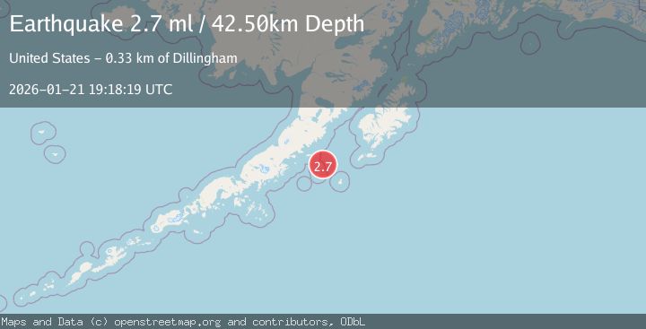
A 2.7 magnitude earthquake struck on 120 km E of Chignik, Alaska, at Wed, 21 Jan 2026 19:18:19 GMT. Depth: 42.5km. Reviewed by USGS seismologists, this minor quake occurred at a magnitude type of ml.
Magnitude
2.7
ml
Source
USGS
Intensity
-
Agency Reports
1 Sources| Source | Magnitude | Depth | Time |
|---|---|---|---|
| USGSPrimary | 2.7 | 43 km | 1 week ago |
Earthquake Details
AutomaticEvent IDusgs_ak2026bmexqr
Tsunami PotentialNo
Magnitude Typeml
Nearest Places
- Aghik Island22.2 km
- Aghiyuk Island24.8 km
- Anowik Island27.1 km
- Kiliktagik Island28.1 km
- Semidi Wilderness29.1 km
Comments
Join the discussion about this event.
Latest Earthquakes
1.4Mag
12 km E of Desert Hot Springs, CA
Time4 hours ago
Depth5.66 km
SourceUSGS (Automatic)
2.9Mag
NICARAGUA
Time4 hours ago
Depth82.00 km
SourceINET (Automatic)
3.1Mag
OFF COAST OF COSTA RICA
Time4 hours ago
Depth10.00 km
SourceUNA (Automatic)
3.8Mag
NEGROS- CEBU REG, PHILIPPINES
Time4 hours ago
Depth9.00 km
SourcePIVS (Automatic)
4.5Mag
OAXACA, MEXICO
Time4 hours ago
Depth51.90 km
SourceNEIC (Automatic)
Nearby Earthquakes
3.9Mag
113 km SSE of Ugashik, Alaska
Time1 week ago
Depth45.10 km
SourceUSGS
2.5Mag
112 km SE of Ugashik, Alaska
Time1 week ago
Depth51.20 km
SourceUSGS (Automatic)
2.2Mag
28 km S of Chignik, Alaska
Time1 week ago
Depth62.50 km
SourceUSGS (Automatic)
2.8Mag
23 km W of Akhiok, Alaska
Time1 day ago
Depth0.60 km
SourceUSGS (Automatic)
1.9Mag
62 km WSW of Karluk, Alaska
Time1 week ago
Depth59.00 km
SourceUSGS (Automatic)