Earthquake 73 km NW of Karluk, Alaska
Thu, 22 Jan 2026 14:34:42 GMT
Time4 days ago
Location
58.0170, -155.3650
Depth
1.2 KM
Event Summary
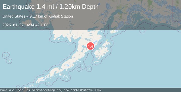
A 1.4 magnitude earthquake struck on 73 km NW of Karluk, Alaska, at Thu, 22 Jan 2026 14:34:42 GMT. Depth: 1.2km. Reviewed by USGS seismologists, this minor quake occurred at a magnitude type of ml.
Magnitude
1.4
ml
Source
USGS
Intensity
-
Agency Reports
1 Sources| Source | Magnitude | Depth | Time |
|---|---|---|---|
| USGSPrimary | 1.4 | 1 km | 4 days ago |
Earthquake Details
AutomaticEvent IDusgs_ak2026bnrgfw
Tsunami PotentialNo
Magnitude Typeml
Nearest Places
- Gas Creek4.8 km
- Kejulik Mountains10.8 km
- Kejulik Pass12.0 km
- Topographers Peak14.4 km
- Mageik Landslide15.5 km
Comments
Join the discussion about this event.
Latest Earthquakes
1.4Mag
41 km NW of Toyah, Texas
Time6 minutes ago
Depth2.74 km
SourceUSGS (Automatic)
2.0Mag
Sumbawa Region, Indonesia
Time11 minutes ago
Depth107.77 km
SourceBMKG (Automatic)
1.7Mag
26 km WNW of Ludlow, CA
Time15 minutes ago
Depth1.36 km
SourceUSGS (Automatic)
3.1Mag
HAITI REGION
Time18 minutes ago
Depth7.00 km
SourceAYIT (Automatic)
2.6Mag
PUERTO RICO
Time24 minutes ago
Depth16.10 km
SourcePR (Automatic)
Nearby Earthquakes
0.4Mag
77 km NW of Karluk, Alaska
Time4 days ago
Depth8.80 km
SourceUSGS (Automatic)
1.0Mag
85 km NW of Karluk, Alaska
Time1 day ago
Depth5.00 km
SourceUSGS (Automatic)
0.4Mag
86 km NW of Karluk, Alaska
Time4 days ago
Depth5.00 km
SourceUSGS (Automatic)
1.6Mag
84 km NW of Karluk, Alaska
Time1 day ago
Depth5.00 km
SourceUSGS (Automatic)
0.8Mag
87 km NNW of Karluk, Alaska
Time23 hours ago
Depth32.30 km
SourceUSGS (Automatic)