Earthquake 87 km NNW of Karluk, Alaska
Mon, 26 Jan 2026 15:11:36 GMT
Time17 hours ago
Location
58.2630, -155.1500
Depth
32.3 KM
Event Summary
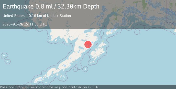
A 0.8 magnitude earthquake struck on 87 km NNW of Karluk, Alaska, at Mon, 26 Jan 2026 15:11:36 GMT. Depth: 32.3km. Reviewed by USGS seismologists, this minor quake occurred at a magnitude type of ml.
Magnitude
0.8
ml
Source
USGS
Intensity
-
Agency Reports
1 Sources| Source | Magnitude | Depth | Time |
|---|---|---|---|
| USGSPrimary | 0.8 | 32 km | 17 hours ago |
Earthquake Details
AutomaticEvent IDusgs_ak2026bvbjoj
Tsunami PotentialNo
Magnitude Typeml
Nearest Places
- Novarupta0.5 km
- Falling Mountain1.6 km
- Broken Mountain2.5 km
- Baked Mountain3.1 km
- Katmai Pass3.6 km
Comments
Join the discussion about this event.
Latest Earthquakes
2.6Mag
Minahassa Peninsula, Sulawesi
Time12 hours ago
Depth118.00 km
SourceBMKG (Automatic)
2.8Mag
South of Bali, Indonesia
Time12 hours ago
Depth10.00 km
SourceBMKG (Automatic)
1.7Mag
31 km SE of Denali National Park, Alaska
Time12 hours ago
Depth0.60 km
SourceUSGS (Automatic)
2.2Mag
WESTERN TURKEY
Time12 hours ago
Depth14.90 km
SourceKOERI (Automatic)
2.2Mag
13 km NW of Ferry, Alaska
Time12 hours ago
Depth139.50 km
SourceUSGS (Automatic)
Nearby Earthquakes
1.1Mag
84 km NNW of Karluk, Alaska
Time14 hours ago
Depth5.00 km
SourceUSGS (Automatic)
1.6Mag
84 km NW of Karluk, Alaska
Time1 day ago
Depth5.00 km
SourceUSGS (Automatic)
3.7Mag
83 km NNW of Karluk, Alaska
Time4 days ago
Depth5.00 km
SourceUSGS (Automatic)
0.9Mag
85 km NNW of Karluk, Alaska
Time4 days ago
Depth5.00 km
SourceUSGS (Automatic)
0.9Mag
79 km NNW of Karluk, Alaska
Time1 day ago
Depth5.00 km
SourceUSGS (Automatic)