Earthquake 83 km NNW of Karluk, Alaska
Fri, 23 Jan 2026 02:51:26 GMT
Time4 days ago
Location
58.2620, -154.9860
Depth
5.0 KM
Event Summary
A 3.7 magnitude earthquake struck on 83 km NNW of Karluk, Alaska, at Fri, 23 Jan 2026 02:51:26 GMT. Depth: 5km. Reviewed by USGS seismologists, this minor quake occurred at a magnitude type of ml.
Magnitude
3.7
ml
Source
USGS
Intensity
-
Agency Reports
2 Sources| Source | Magnitude | Depth | Time |
|---|---|---|---|
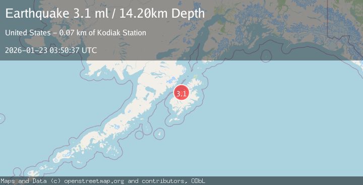
| USGSPrimary | 3.1 | 14 km | 4 days ago |
| AK | 3.7 | 14 km | 4 days ago |
Earthquake Details
AutomaticEvent IDusgs_ak2026boprcr
Tsunami PotentialNo
Magnitude Typeml
Nearest Places
- Crater Lake0.5 km
- Mount Katmai2.8 km
- The Knife Creek Glaciers3.1 km
- The Knife Creek Glacier3.4 km
- Noisy Glacier7.2 km
Comments
Join the discussion about this event.
Latest Earthquakes
2.6Mag
Northern Sumatra, Indonesia
Time7 minutes ago
Depth0.60 km
SourceBMKG (Automatic)
2.1Mag
SOUTHERN TEXAS
Time7 minutes ago
Depth0.00 km
SourceTX (Automatic)
3.8Mag
ATACAMA, CHILE
Time14 minutes ago
Depth98.00 km
SourceCSN (Automatic)
0.9Mag
EASTERN TURKEY
Time15 minutes ago
Depth6.80 km
SourceAFAD (Automatic)
2.4Mag
EASTERN TURKEY
Time17 minutes ago
Depth4.30 km
SourceKOERI (Automatic)
Nearby Earthquakes
1.1Mag
84 km NNW of Karluk, Alaska
Time15 hours ago
Depth5.00 km
SourceUSGS (Automatic)
0.9Mag
85 km NNW of Karluk, Alaska
Time4 days ago
Depth5.00 km
SourceUSGS (Automatic)
0.9Mag
79 km NNW of Karluk, Alaska
Time1 day ago
Depth5.00 km
SourceUSGS (Automatic)
0.8Mag
87 km NNW of Karluk, Alaska
Time19 hours ago
Depth32.30 km
SourceUSGS (Automatic)
0.6Mag
93 km ESE of King Salmon, Alaska
Time7 hours ago
Depth2.90 km
SourceUSGS (Automatic)