Earthquake 79 km NNW of Karluk, Alaska
Mon, 26 Jan 2026 07:45:10 GMT
Time1 day ago
Location
58.2310, -154.9520
Depth
5.0 KM
Event Summary
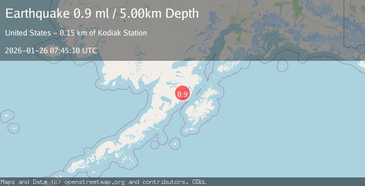
A 0.9 magnitude earthquake struck on 79 km NNW of Karluk, Alaska, at Mon, 26 Jan 2026 07:45:10 GMT. Depth: 5km. Reviewed by USGS seismologists, this minor quake occurred at a magnitude type of ml.
Magnitude
0.9
ml
Source
USGS
Intensity
-
Agency Reports
1 Sources| Source | Magnitude | Depth | Time |
|---|---|---|---|
| USGSPrimary | 0.9 | 5 km | 1 day ago |
Earthquake Details
AutomaticEvent IDusgs_ak2026bumowb
Tsunami PotentialNo
Magnitude Typeml
Nearest Places
- Crater Lake3.9 km
- Katmai Canyon5.2 km
- Mount Katmai5.4 km
- Barrier Range6.5 km
- Noisy Glacier6.7 km
Comments
Join the discussion about this event.
Latest Earthquakes
1.1Mag
30 km NE of Los Alamos, CA
Time11 minutes ago
Depth4.17 km
SourceUSGS (Automatic)
1.2Mag
EASTERN TURKEY
Time11 minutes ago
Depth7.00 km
SourceAFAD (Automatic)
2.6Mag
Timor Region
Time14 minutes ago
Depth35.26 km
SourceBMKG (Automatic)
2.3Mag
Sumbawa Region, Indonesia
Time14 minutes ago
Depth10.00 km
SourceBMKG (Automatic)
2.5Mag
Flores Sea
Time16 minutes ago
Depth26.93 km
SourceBMKG (Automatic)
Nearby Earthquakes
3.7Mag
83 km NNW of Karluk, Alaska
Time4 days ago
Depth5.00 km
SourceUSGS (Automatic)
1.1Mag
84 km NNW of Karluk, Alaska
Time14 hours ago
Depth5.00 km
SourceUSGS (Automatic)
0.9Mag
85 km NNW of Karluk, Alaska
Time4 days ago
Depth5.00 km
SourceUSGS (Automatic)
0.8Mag
87 km NNW of Karluk, Alaska
Time17 hours ago
Depth32.30 km
SourceUSGS (Automatic)
1.6Mag
84 km NW of Karluk, Alaska
Time1 day ago
Depth5.00 km
SourceUSGS (Automatic)