Earthquake 15 km W of Karluk, Alaska
Sun, 25 Jan 2026 08:55:44 GMT
Time3 days ago
Location
57.5930, -154.7020
Depth
22.1 KM
Event Summary
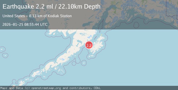
A 2.2 magnitude earthquake struck on 15 km W of Karluk, Alaska, at Sun, 25 Jan 2026 08:55:44 GMT. Depth: 22.1km. Reviewed by USGS seismologists, this minor quake occurred at a magnitude type of ml.
Magnitude
2.2
ml
Source
USGS
Intensity
-
Agency Reports
1 Sources| Source | Magnitude | Depth | Time |
|---|---|---|---|
| USGSPrimary | 2.2 | 22 km | 3 days ago |
Earthquake Details
AutomaticEvent IDusgs_ak2026bstetr
Tsunami PotentialNo
Magnitude Typeml
Nearest Places
- Sturgeon Head10.3 km
- Cape Karluk11.2 km
- Sturgeon River11.9 km
- Hume Cannery (historical)12.7 km
- Tanglefoot Bay12.8 km
Comments
Join the discussion about this event.
Latest Earthquakes
1.9Mag
NORTHERN ITALY
Time2 hours ago
Depth1.00 km
SourceLDG (Automatic)
3.4Mag
Minahassa Peninsula, Sulawesi
Time2 hours ago
Depth15.68 km
SourceBMKG (Automatic)
3.2Mag
COSTA RICA
Time2 hours ago
Depth39.00 km
SourceINET (Automatic)
1.2Mag
15 km W of Johannesburg, CA
Time2 hours ago
Depth5.56 km
SourceUSGS (Automatic)
1.0Mag
8 km WNW of Cobb, CA
Time2 hours ago
Depth1.94 km
SourceUSGS (Automatic)
Nearby Earthquakes
1.7Mag
22 km N of Karluk, Alaska
Time6 days ago
Depth51.40 km
SourceUSGS (Automatic)
1.9Mag
62 km WSW of Karluk, Alaska
Time6 days ago
Depth59.00 km
SourceUSGS (Automatic)
1.3Mag
60 km NNW of Karluk, Alaska
Time2 days ago
Depth5.00 km
SourceUSGS (Automatic)
1.5Mag
61 km N of Karluk, Alaska
Time2 days ago
Depth83.80 km
SourceUSGS (Automatic)
2.6Mag
KODIAK ISLAND REGION, ALASKA
Time5 hours ago
Depth20.30 km
SourceAK (Automatic)